The Nordic countries worksheets from Worksheetzone are built for teachers who need a targeted, classroom-ready resource to introduce students to Denmark, Finland, Iceland, Norway, and Sweden. This region captures student curiosity, yet many learners have only surface-level knowledge of it beyond cold climates or Viking lore. These printables turn that curiosity into structured geographic learning.
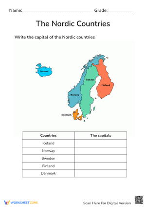
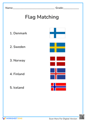
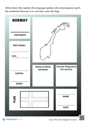
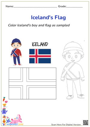
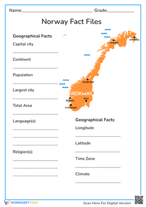
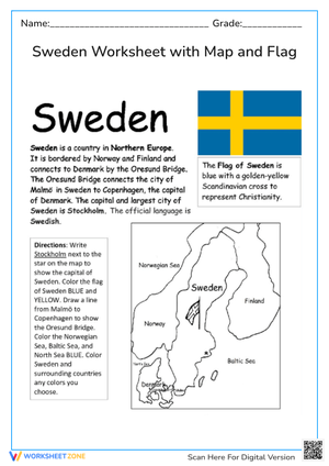
Each sheet focuses on a specific objective: labeling national capitals on a map, identifying regional climate zones, comparing cultural landmarks, or matching countries to their flags. Rather than presenting isolated trivia, the activities guide students through a connected sequence of tasks that build genuine geographic literacy. By the end of a unit, students understand not just where these countries are, but what makes each one distinct.
Parents supporting home study will find the format intuitive and self-explanatory. Whether a student is reviewing for a test or exploring world cultures independently, the consistent layout of each page reduces confusion and keeps the focus on learning. Students can move from one activity to the next without needing constant adult guidance, which makes these materials practical for evenings and weekends.
Teachers can deepen the unit by pairing these worksheets with the Worksheetzone resource on what to teach in geography, which provides a clear framework for structuring regional geography lessons. Students who need additional map-reading support will also benefit from the latitude and longitude worksheets, which reinforce the coordinate skills that make global maps easier to interpret.
From a single class period to a multi-week unit, these printable resources fit naturally into any geography lesson plan. Grab the Nordic countries worksheets from Worksheetzone and give students a structured, engaging path to understanding one of the world's most distinctive regions.
Frequently Asked Questions
Question 1: What countries are covered in the Nordic countries worksheets?
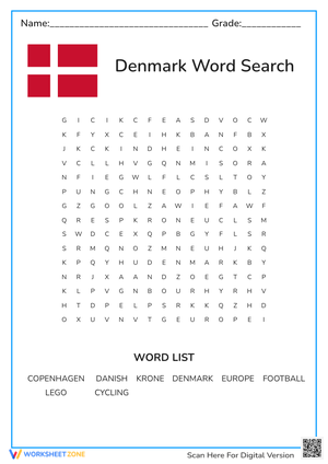
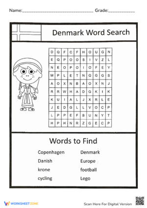
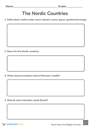
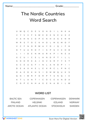
The worksheets cover all five recognized Nordic nations: Denmark, Finland, Iceland, Norway, and Sweden. Activities include map labeling, capital city identification, and cultural fact reviews. Each country is addressed through targeted exercises that build regional knowledge progressively, making the collection suitable for a multi-day unit or a single focused geography lesson.
Question 2: What grade levels are these worksheets designed for?
These materials are best suited for students in grades 3 through 8. The layout and vocabulary are calibrated for middle elementary through early middle school learners. Teachers working with mixed-ability groups can use the more visual activities as entry-level tasks while reserving the map-labeling and written response sections for students who need a greater challenge.
Question 3: How do I integrate these into a geography unit plan?
Start with the map identification activity to establish a spatial foundation, then move into capital cities and cultural facts. Use the worksheets as daily warm-ups, station rotation tasks, or end-of-unit reviews. They work well as independent practice or in small groups. The clear instructions on each page mean students can work through activities without requiring step-by-step teacher direction.
Question 4: Are these worksheets printable and classroom-ready?
All Nordic countries worksheets from Worksheetzone are formatted as PDF files for standard letter-size paper. The black-and-white design keeps printing costs low while maintaining clean, readable layouts. Teachers can print class sets in minutes, making these resources practical for planned lessons, last-minute activities, and the Nordic countries worksheets work equally well at home.