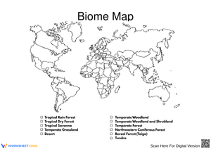
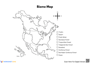
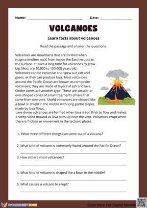
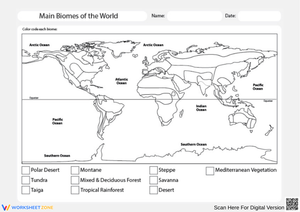
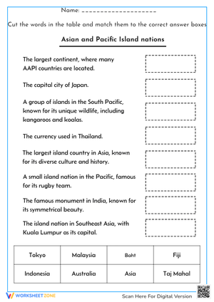
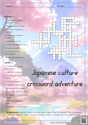
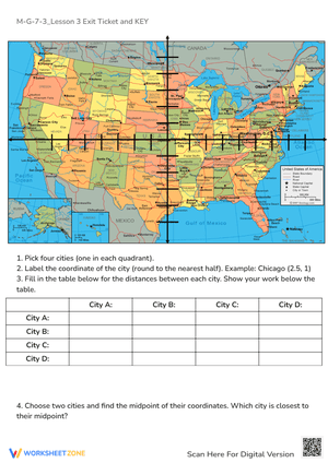
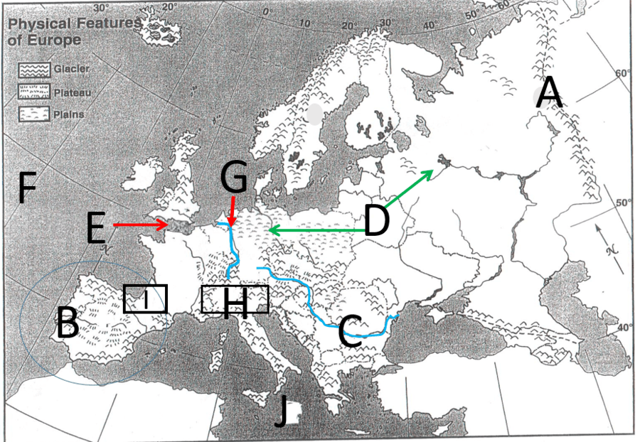
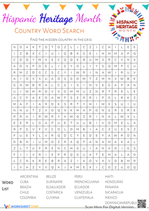
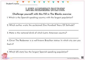
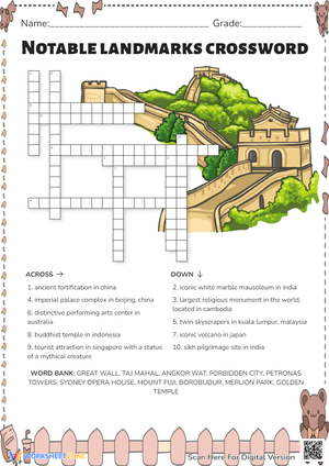
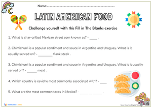
These geography pdf worksheets for 8th grade give teachers a ready collection of print-and-go tasks covering map analysis, physical and human geography content, and short written response work — the three components that appear most consistently in grade 8 social studies assessment. Each worksheet holds up across different classroom contexts without needing to be rebuilt: bell ringer, independent practice block, small-group reteach, homework assignment, or substitute plan.
The Specific Skills These Worksheets Build
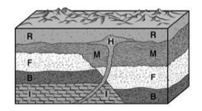
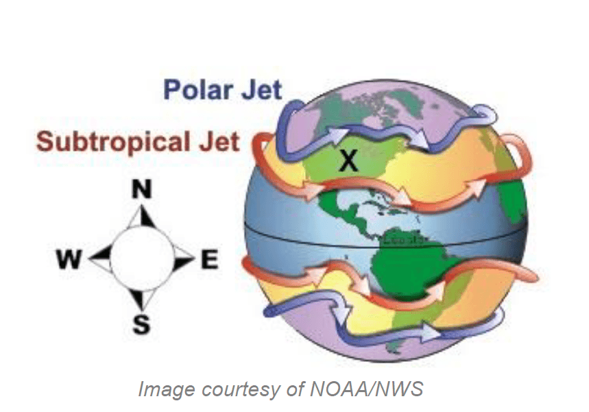
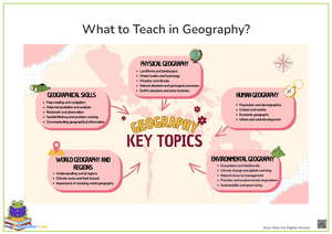
The set works along two content tracks that most 8th grade geography courses address in parallel. Physical geography tasks ask students to identify and explain landforms, climate zones, major bodies of water, and natural resource distribution. Human geography tasks engage population patterns, migration, urban growth, cultural regions, and the relationship between people and their physical environments. The geography pdf worksheets for 8th grade collected here build both tracks into a single teachable format that teachers can assign without reworking the sequence.
What distinguishes stronger grade 8 geography practice from weaker practice is the demand for explanation. A student who correctly identifies the Amazon Basin on a map but cannot explain why high rainfall and dense vegetation correlate with low population density has done only part of the geographic work. The written response prompts built directly into these tasks make that gap visible quickly — and that is the key instructional value for teachers using these resources as formative checks rather than completion grades.
Mistakes Students Make That These Worksheets Surface
The most consistent pattern in 8th grade geography work: students treat the map as the answer rather than as evidence. They locate a landform, write its name, and stop — they do not take the next step of connecting that feature to climate, human settlement, or economic activity. A student who correctly draws and labels the Great Plains will still write "because it was flat" when asked why that region supported agricultural expansion, without addressing water access, soil composition, or the rail infrastructure that made flat land productive. Tasks structured as two-step prompts — identify the feature, then explain one consequence — interrupt that habit before it solidifies.
A second error worth anticipating is climate-weather confusion. When asked to describe the Mediterranean climate zone, many 8th graders write about a specific hot summer or storm season rather than characterizing the long-term patterns that define that region's agricultural potential or settlement density. Worksheets that ask students to name a climate characteristic and then explain one human outcome — presented as separate, sequential steps — help students practice the distinction rather than flatten the two concepts into one vague answer.
How to Work These Worksheets Into Your Weekly Lesson Plans
Geography pdf worksheets for 8th grade earn their place most reliably when teachers assign them with a narrow purpose. A map-based task runs about five minutes as a bell ringer and activates prior knowledge before direct instruction starts. A two-question short-response worksheet fits a 12 to 15 minute independent practice block and produces formative data teachers can look at the same afternoon. For homework, assign a worksheet that reinforces a skill already modeled in class — students practice something familiar rather than guess through an unfamiliar format on their own.
In reteach or small-group settings, use the same worksheet the rest of the class is working through rather than substituting a simpler task. Walk the group through the map annotation step aloud first — have students narrate what they observe in the legend, point to relevant boundaries, and state one observation before writing anything down. That verbal rehearsal significantly reduces the blank-page hesitation that stalls many 8th graders on spatial tasks. The eight minutes before dismissal is another consistent window: a focused annotation prompt or vocabulary-in-context task produces real written output without requiring a new activity launch.
- Keep a PDF-based worksheet on file as a substitute plan — clear printed directions and visible written output make these more reliable than slide-based tasks that depend on login access.
- Assign the same topic twice in one week using two different maps so students practice transferring geographic reasoning, not memorizing a single representation.
- Use one worksheet as an exit ticket after introducing a new region or landform concept — the short written response reveals more than a show-of-hands check.
- Pair the map annotation step with partner talk before independent writing to lower the entry barrier for students who freeze on open-ended geographic reasoning prompts.
Standard Alignment
National Geographic Education's Geography Standard 1 centers the use of maps, geospatial tools, and spatial analysis to interpret geographic patterns and relationships. Every map-based task in this set addresses that standard directly — students read and interpret geographic evidence rather than simply reproduce it on a blank outline. Standard 4, which covers the physical and human characteristics of places, and Standard 5, which addresses regional analysis, are both represented across the collection. Teachers building units around world regions, physical systems, or human-environment interaction can draw from this set without having to justify the standards connection separately.
For teachers working within frameworks that align to the C3 Framework, the short written response format directly supports D2.Geo.2 — using geographic tools to analyze relationships among humans, their places, and environments — as a recurring formative practice rather than a once-per-unit assessment event.
Adapting the Set for Different Learners
For students who stall on open-ended map tasks, a structured annotation sequence gives them a repeatable process: circle the relevant feature, write its name, then write one sentence about what that feature means for people who live or travel nearby. Teachers can model this sequence once during whole-group instruction and release students to apply it independently across multiple worksheets throughout the unit. The sequence works because it breaks spatial reasoning into visible steps rather than presenting geographic explanation as one large, abstract task.
Students who finish the core task quickly benefit from a comparative extension — provide a second map of the same region from a different historical period and ask them to identify what changed and why. That prompt demands the same spatial reasoning skills as the original task but at a higher synthesis level, and it does not require printing an entirely different worksheet. A projected second image or a printed insert added to their folder is enough. For English language learners, a brief geographic vocabulary reference keyed to the specific region or concept on each worksheet reduces the language load without removing the geographic reasoning demand.
Frequently Asked Questions
What topics do these worksheets cover?
The set spans map reading, regions, landforms, climate zones, natural resources, population distribution, migration, urban patterns, and human-environment interaction. Each worksheet includes at least one written response component so students explain what geographic evidence shows, not just identify features by name.
How do I use these for reteach or intervention?
Use the same worksheet your other students are completing rather than substituting a simpler task. Walk the small group through the map annotation step together — name what is visible in the legend, identify spatial patterns aloud, then write. This keeps the cognitive demand intact while giving students the guided support they need before working independently.
Can I use these for homework and substitute days?
These geography pdf worksheets for 8th grade are self-contained — students need no technology access or platform login to complete them. That makes each worksheet reliable for routine homework review, absent-student packets, and substitute days where the work needs to be clear and output needs to be visible on paper.
How do these help students who struggle with map-based tasks?
The annotation sequence built into most tasks gives students with limited spatial confidence a concrete process to follow rather than an open-ended prompt that assumes prior fluency with map reading. Teachers can also use these tasks in a paired format during the observation step — two students narrate what they see before each writes an independent response — which builds the geographic vocabulary students need to sustain the written portion on their own.












 Interactive Worksheet Maker
 Quiz Maker
 Word Search Maker
 Crossword Puzzle Maker
 Word Scramble Generator
 Sentence Scramble Generator
 Handwriting Worksheet Generator
 Name Tracing Generator
 Fill In The Blank Generator




 BACK TOSCHOOL