


0
Views
0
Downloads
0.0
0
Save
0 Likes
Match Country Capital with this Worksheet
0 Views
0 Downloads
Paste this activity's link or code into your existing LMS (Google Classroom, Canvas, Teams, Schoology, Moodle, etc.).
Students can open and work on the activity right away, with no student login required.
You'll still be able to track student progress and results from your teacher account.
Information
Description
What It Is:
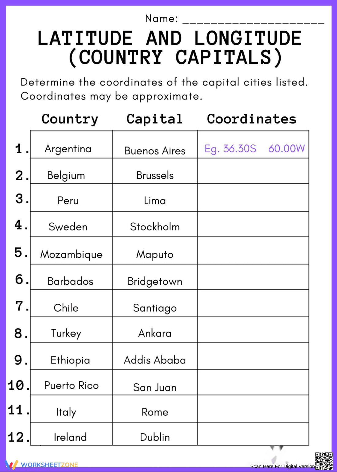
This is a geography worksheet titled 'Latitude and Longitude (Country Capitals)'. It presents a table with a list of countries and their capitals, such as Argentina/Buenos Aires, Belgium/Brussels, Peru/Lima, Sweden/Stockholm, Mozambique/Maputo, Barbados/Bridgetown, Chile/Santiago, Turkey/Ankara, Ethiopia/Addis Ababa, Puerto Rico/San Juan, Italy/Rome, and Ireland/Dublin. The task is to determine the approximate coordinates (latitude and longitude) for each capital city and write them in the 'Coordinates' column. The first row provides an example with the coordinates 36.30S and 60.00W for Buenos Aires.
Grade Level Suitability:
This worksheet is suitable for grades 6-9. It requires knowledge of world geography, map reading skills, and understanding of latitude and longitude coordinate systems, which are typically introduced in middle school.
Why Use It:
This worksheet reinforces geographical knowledge by connecting countries with their capitals. It develops map reading skills and understanding of global coordinate systems (latitude and longitude). It also encourages research skills as students may need to look up the coordinates.
How to Use It:
Students should use maps, atlases, or online resources to find the latitude and longitude coordinates for each capital city listed in the worksheet. They should then write the coordinates in the provided 'Coordinates' column, using the example as a guide. Students should be aware that coordinates may be approximate.
Target Users:
This worksheet is designed for middle school students learning about geography, map skills, and coordinate systems. It is useful for geography teachers, homeschooling parents, and students studying world geography.