


Views
Plays
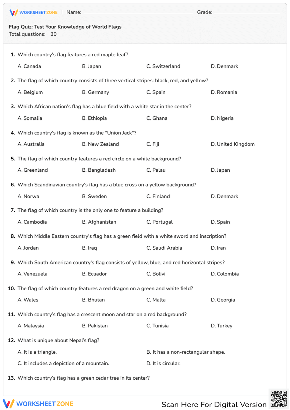


World Flags Quiz Worksheet | Essential Geography Grade 5-12
Paste this activity's link or code into your existing LMS (Google Classroom, Canvas, Teams, Schoology, Moodle, etc.).
Students can open and work on the activity right away, with no student login required.
You'll still be able to track student progress and results from your teacher account.
This comprehensive world flags quiz provides a rigorous yet engaging way for students to demonstrate their global cultural literacy. By identifying 30 distinct national symbols, learners strengthen their mental maps and recognize the visual representations of sovereignty across every continent. It is an effective tool for assessing prior knowledge or concluding a unit on global geography.
At a Glance
- Grade: 5-12 · Subject: Geography
- Standard:
CCSS.ELA-LITERACY.RH.6-8.7— Integrate visual information with other information in print and digital texts- Skill Focus: World Flag Identification
- Format: 3 pages · 30 problems · Answer key included · PDF
- Best For: Bell-ringers, sub plans, or geography assessments
- Time: 15–25 minutes
The worksheet spans 3 pages and contains 30 multiple-choice questions. Each question focuses on a specific design element, such as the "Union Jack," the "red maple leaf," or unique shapes like Nepal's non-rectangular flag. The layout is clean and professional, featuring a high-quality image of the Kenyan flag for a specific symbolic analysis question, ensuring students engage with both text and visual cues.
This resource is designed for a zero-prep classroom workflow. First, print the 3-page PDF in less than a minute. Second, distribute the quiz to students as a bell-ringer or quiet assessment. Third, review the answers using the included key to provide immediate feedback. Total teacher preparation time is under 2 minutes, making it an ideal emergency sub plan or a quick check for understanding during a busy week.
Aligned to CCSS.ELA-LITERACY.RH.6-8.7, this worksheet requires students to integrate visual information with other information in print. By analyzing flag descriptions and symbols, students practice decoding visual semiotics within a historical and geographical context. Both standard codes can be copied directly into lesson plans, IEP goals, or district curriculum mapping tools to ensure compliance with secondary social studies frameworks.
Use this worksheet as a formative assessment during a unit on international relations or as a competitive "Geography Bee" practice round. It works best after direct instruction on continental regions. Teachers should observe which regions, such as Oceania or the Middle East, students struggle with most to inform future map-drills. Expected completion typically takes 15 to 25 minutes depending on the grade level.
This quiz is tailored for middle and high school students who are developing global awareness. It is particularly useful for AP Human Geography students or World History classes. Pair this resource with a physical classroom atlas or an interactive digital map to allow students to cross-reference their answers during a post-quiz review session, fostering a deeper connection to the material.
According to the RAND AIRS 2024 report on social studies instruction, the use of visual retrieval practice, such as identifying national symbols, significantly improves long-term retention of geopolitical facts. This worksheet targets the CCSS.ELA-LITERACY.RH.6-8.7 standard by requiring students to synthesize descriptive text with visual recognition of world flags. Research from Fisher & Frey (2014) suggests that structured multiple-choice assessments provide a low-stakes environment for students to build the background knowledge necessary for complex historical analysis. By engaging with 30 specific tasks, students move beyond simple recognition toward an understanding of vexillology and its role in national identity. This resource serves as a foundational tool for secondary geography, ensuring that students can accurately identify the visual markers of the world's nations while meeting rigorous literacy standards for non-prose informational texts.