


1 / 2
0
Views
0
Plays
0.0
0
Save
0 Likes
Ocean Water Quiz
0 Views
0 Plays
Paste this activity's link or code into your existing LMS (Google Classroom, Canvas, Teams, Schoology, Moodle, etc.).
Students can open and work on the activity right away, with no student login required.
You'll still be able to track student progress and results from your teacher account.
Information
Description
What It Is:
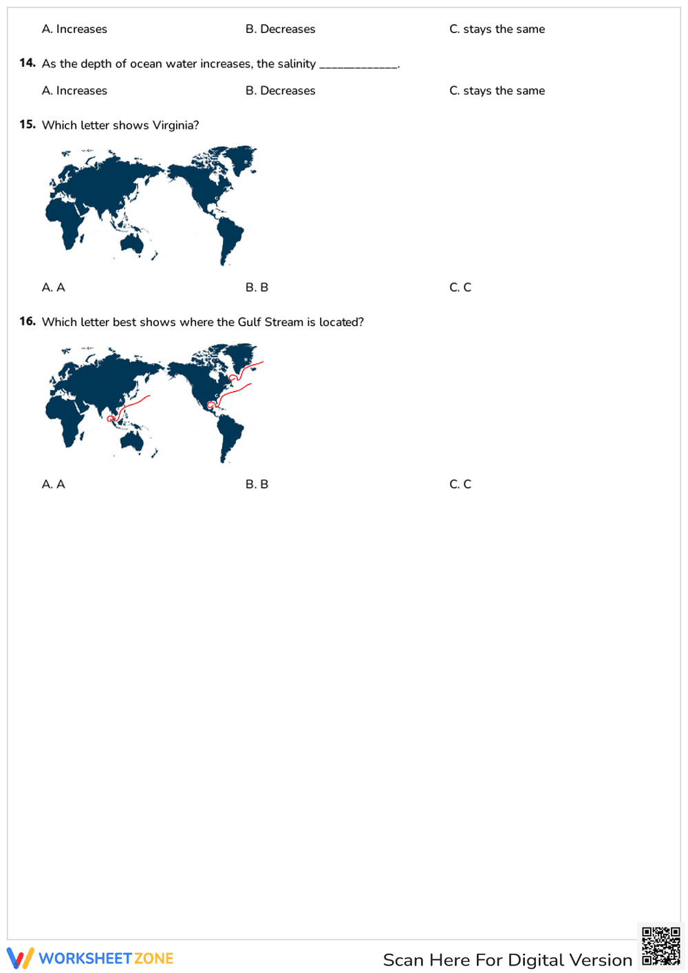
This is a world map worksheet showing continents in dark blue and oceans in white. There are three marked paths with red lines labeled A, B, and C. Path A originates near Southeast Asia, Path B is in the North Atlantic near Greenland, and Path C is in the Gulf of Mexico.
Grade Level Suitability:
This worksheet is suitable for grades 4-7. It requires basic knowledge of world geography and the ability to interpret a map. It could be used to introduce or reinforce concepts like ocean currents or trade routes.
Why Use It:
This worksheet helps students visualize and understand geographical relationships. It encourages critical thinking about movement and connections across the globe, and potentially introduces concepts of ocean currents, trade routes, or migration patterns.
How to Use It:
Students can use this worksheet to identify the continents, oceans, and locations where paths A, B, and C originate and terminate. They could be asked to research and label the paths, identify what each path represents, or answer questions related to the paths and their significance.
Target Users:
This worksheet is designed for elementary and middle school students studying geography, social studies, or earth science. It can also be used for homeschooling or as a supplementary activity in a classroom setting.