4th Grade Earthquake worksheets: Teaching Earth Science
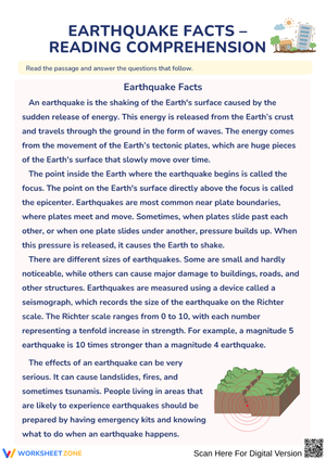
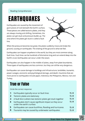
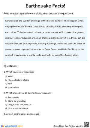
These 4th grade earthquake worksheets resources give teachers a ready-to-use set for a tectonic unit that doesn't require building from scratch — each worksheet covers a distinct skill, stands alone, and prints without any formatting gymnastics. The set moves from Earth's internal structure through seismic pattern mapping to basic engineering reasoning, with a safety strand woven in at the end. At this grade level, the conceptual leap from "the Earth has layers" to "those layers move and that movement causes earthquakes" is significant, and these worksheets are sequenced to support that shift without rushing past the foundational vocabulary.
The Specific Skills These Worksheets Target
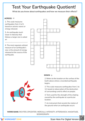
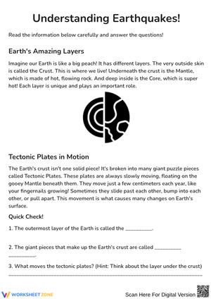
The vocabulary work anchors the early part of the unit. Students label diagrams of Earth's layers — crust, mantle, outer core, inner core — and connect those layers to where tectonic plates reside. Subsequent worksheets introduce fault lines, seismic waves, and the distinction between the focus and the epicenter. Rather than simple matching, students sort terms into cause-and-effect columns, which requires them to engage with how the concepts relate rather than just memorizing definitions in isolation.
Mapping is where the set picks up momentum. Students plot the locations of historically significant earthquakes on a world map and then describe the resulting patterns in writing. The clustering they find — along distinct lines rather than scattered randomly — becomes the evidence base for understanding plate boundaries. One worksheet asks students to overlay their earthquake data with a separate set of volcano locations. The near-perfect alignment of the two data sets is usually the visual moment that makes the whole unit click into place.
The engineering strand applies this knowledge to a human problem. Students examine two building designs — one with a wide base and cross-bracing, one tall and narrow — and explain in writing which would better withstand seismic activity and why. The reasoning is the product, not a physical model. A follow-up worksheet asks students to revise one design using what they've learned about how seismic waves travel through different materials, which pushes the analysis one step further.
Frequent Student Errors These Worksheets Help You Catch
The single most predictable mix-up: students reverse epicenter and focus. Even after reading a clear definition, they'll label the underground point "epicenter" because the prefix epi- carries no intuitive weight for 9-year-olds. The labeling worksheet surfaces this error fast — circulate during the activity and you'll see it on a consistent number of papers. A two-minute whole-class pause to sketch the relationship on the board costs almost nothing and prevents the misconception from hardening.
On the mapping worksheets, a different problem shows up. Students who correctly plot all their data points still often describe the Ring of Fire as a circle or ring in their written responses, when the actual plate boundary pattern is far more irregular. The cause is the name itself — they've heard "Ring of Fire" and applied that mental image to their map rather than reading what they actually plotted. Asking students to trace the outline of their data with a colored pencil before they write forces them to engage with the shape on the page rather than the shape in their heads.
Seismograph reading produces a third consistent error. Students interpret a taller wave as a "faster" earthquake rather than understanding that wave amplitude corresponds to intensity. This is a physics-vocabulary gap, not a reading problem. The worksheet addresses it by placing two traces side by side and asking students to annotate differences they observe before the term "magnitude" is introduced — a small sequencing decision that reduces the chance of students learning the label before they understand what it describes.
Standard Alignment
NGSS 4-ESS2-2 (Earth's Systems: Analyze and Interpret Data) is the primary anchor. That standard asks 4th graders to use map data to identify patterns in the distribution of Earth's features — exactly the work the mapping worksheets require. The 4th grade earthquake worksheets set also addresses NGSS 4-ESS3-2 (Earth and Human Activity), which asks students to generate and compare solutions for reducing the impacts of natural Earth processes on human communities. The engineering worksheets map directly onto that performance expectation. Together, the two standards give the unit a clear instructional frame that connects the physical science content to evidence-based reasoning and applied problem-solving.
How to Work These Worksheets Into Your Instructional Sequence
The vocabulary and Earth layer diagrams work well as a first-day anchor activity — students complete the labeling worksheet during or immediately after a brief direct-instruction sequence on Earth's internal structure. By the time the mapping worksheets arrive mid-unit, students have the terminology to describe what they're observing, which makes their written pattern explanations substantively more useful as formative checks than they would be if mapping came first.
The engineering worksheet is strongest when it follows a short class discussion about a real building in a seismically active area. A photograph of a base-isolated building in Tokyo or a cross-braced structure in San Francisco gives students a concrete visual reference before they reason about design choices on paper. The safety worksheet is a natural closer for the unit and holds up well in the last ten minutes of class — the "where would you go?" decision-making tasks are low-stakes enough to maintain attention at the end of a long block and give students something concrete to discuss on the way out the door.
Differentiating These Worksheets Across Student Readiness Levels
For students who need more support with vocabulary work, adding a word bank to the sorting activities reduces cognitive load without removing the reasoning step. On the mapping worksheet, pre-labeling one or two plate boundaries gives students a starting reference point and keeps the focus on identifying patterns rather than on basic map orientation. These adjustments take about three minutes of prep per worksheet and don't require producing a separate version.
Students who move through the material quickly benefit from extensions that add a second layer of analysis. On the mapping worksheet, ask them to calculate the approximate distance between two plotted earthquake sites using the map scale rather than simply plotting and describing. On the engineering worksheet, require a written argument that cites specific evidence from the seismograph trace worksheet — this kind of cross-worksheet synthesis surfaces higher-order reasoning without requiring new materials or a separate assignment.
Frequently Asked Questions
In what order should these worksheets be used?
Earth layer labeling and vocabulary worksheets belong first, before students encounter the mapping activities. Mapping works best mid-unit once students can apply terminology accurately to what they're observing. The engineering and safety worksheets are designed for the back half of the unit, when students have enough conceptual background to connect seismic science to human decision-making.
Can students work through these independently, or do they need teacher introduction first?
Most worksheets include enough context in their directions for a student with initial instruction to work independently. The seismograph reading worksheet is the exception — wave amplitude is abstract enough that a brief modeling moment before independent work prevents frustration. That 4th grade earthquake worksheets exercise in particular benefits from two to three minutes of teacher demonstration, where you annotate a sample trace aloud before students attempt their own.
How long does each worksheet typically take?
Vocabulary and labeling worksheets run 12–18 minutes for most students. The mapping worksheet takes closer to 25–30 minutes when students are writing a full pattern explanation alongside their data plotting. The engineering worksheet is usually done in 20 minutes, though students who get invested in their design rationale will push that closer to 30. None of the worksheets are built to fill an entire science block on their own.
Are these suitable for homework or science centers?
The vocabulary and safety worksheets travel home without much adjustment. The mapping worksheet is harder to send home without the reference materials students have been using in class, so it works better as a center activity where the wall map or class reference sheet is accessible. A 4th grade earthquake worksheets mapping activity completed without that context tends to produce data plotting without the pattern-recognition reasoning the worksheet is built to develop.
Clear All