Geography printable worksheets for 6th grade sit at a specific instructional moment: students are past coloring-the-continents tasks but haven't yet developed the analytical habits they'll need for secondary social studies. The resources in this set push them past memorization and into interpretation — reading map patterns, explaining settlement choices, and connecting physical features to human decisions.
What Students Actually Practice
The skills here span both physical and human geography, which matters because most 6th-grade social studies units weave both together. A student who can locate the Amazon Basin on a map still needs to explain why deforestation affects global climate patterns. These worksheets address the full range:
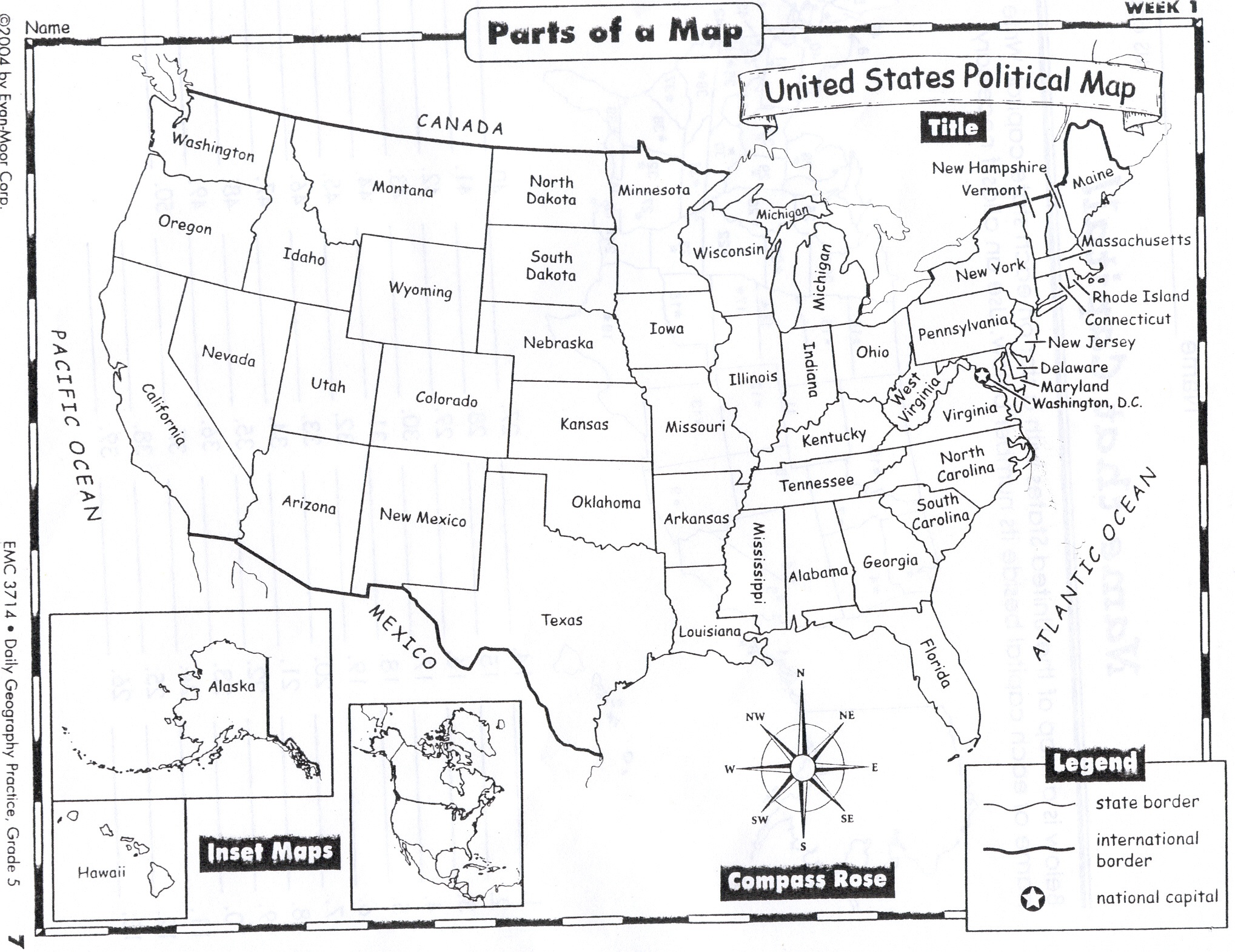
- Map tools: compass rose, map scale, legends, coordinate grids, and symbol identification
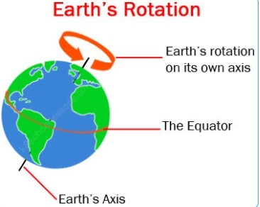
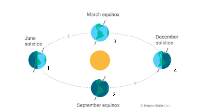
- Location and place: continents, oceans, major countries, capitals, and physical landmarks
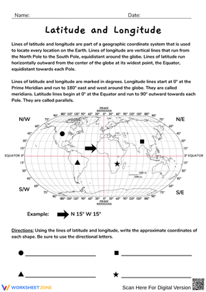
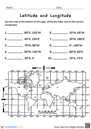
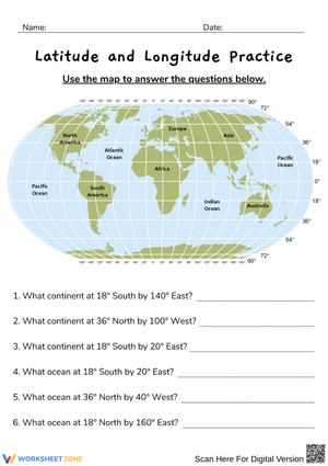
- Latitude and longitude: reading and plotting coordinates with accuracy
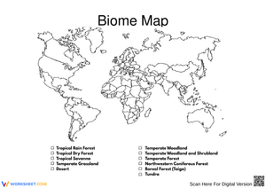
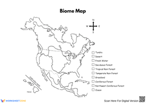
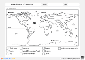
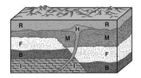
- Landforms and climate: identifying and comparing physical features and climate zones
- Human geography: migration routes, settlement patterns, population density, and land use
- Geographic vocabulary: terms like delta, plateau, isthmus, hemisphere, and urban corridor
- Regional analysis: comparing areas by resources, climate, or population characteristics
The stronger worksheets in any set don't isolate these skills from one another. A student who labels a river system on one worksheet and then answers Why have major civilizations historically built cities at river deltas? on another is doing the kind of transfer work that actually sticks.
Mistakes Students Make That Reveal Gaps Worth Closing
Latitude and longitude cause consistent confusion. Most students can recite that latitude lines run horizontally and longitude lines run vertically, but in practice they transpose the two when writing coordinates. A student given the point 30°N, 90°W will often locate it correctly on a grid but label it backward in a written response — writing "longitude 30°N" without noticing. Catching this while students are still working on individual worksheets, rather than during an assessment, saves significant frustration.
A second pattern shows up in physical versus human geography sorting tasks. Many students place "a major highway" under physical geography because roads feel fixed and permanent to them. The reasoning is understandable — human-built features do become embedded in the landscape — but it points to a conceptual gap. A worksheet that asks students to sort examples and then write one sentence justifying each placement surfaces this thinking much faster than a multiple-choice item ever does.
Map scale is another sticking point. Students grasp the concept in general — map distance converts to real distance — but struggle when the scale bar uses fractions of an inch or a ratio like 1:500,000 instead of a simple whole number. Worksheets that present scale problems in varying formats across the set give students the repeated exposure needed to handle whichever version appears on a quiz.
Working These Worksheets Into Your Lesson Sequence
One of the most practical approaches is to anchor a week of instruction to a single blank map. Use the same map three days running: day one for labeling, day two for identifying patterns (where are the densely populated zones? where do the deserts cluster?), and day three for a written response connecting geography to a unit question. Students don't spend mental energy re-orienting to a new visual each day, which frees them to do the actual geographic thinking. This is the core principle behind spaced retrieval — the map becomes familiar enough to disappear as an obstacle.
Geography printable worksheets for 6th grade also slot easily into parts of the day that can otherwise drift — the last eight minutes before passing period, the Monday warm-up after a long weekend, the afternoon before a unit test when re-teaching feels too ambitious. A focused coordinate task or a quick map legend activity gives students something concrete to do while teachers circulate and check understanding.
For sub plans, self-contained worksheets with visible directions run themselves. If the sub has no social studies background, a clearly structured set — label this map, answer these four questions, define these three terms — doesn't require interpretation. Build that folder early in the year before you ever need it.
Standard Alignment
These worksheets align with the C3 Framework for Social Studies, specifically Geography Standards D2.Geo.1.6-8 through D2.Geo.8.6-8, which ask students to construct and interpret maps, analyze how cultural and environmental factors shape places, and evaluate the effects of human settlement on landscapes. Several map-skill worksheets also support CCSS.ELA-LITERACY.RH.6-8.7, which requires students to integrate information from print text with visual sources including maps, charts, and diagrams. For teachers working under state frameworks with explicit Grade 6 geography standards, most of these resources reinforce location, region identification, and human-environment interaction — categories that appear consistently across state standards at this level.
Adjusting the Work for a Wide Range of Readiness Levels
Geography printable worksheets for 6th grade work in mixed-readiness classrooms when the adjustment targets the task, not the topic. A student reading two grade levels below still benefits from interpreting a population density map — they just need a word bank, a sentence frame, or reduced answer options to access the writing portion. Pre-highlighting key features on a physical map before distributing it removes a barrier without removing the geography.
For students who finish quickly, the most effective extensions are interpretive rather than additive. Instead of assigning more labeling, ask them to write a paragraph predicting how a region's physical geography would shape its economy, transportation network, or food supply. That kind of open-ended inference is genuinely more demanding than identifying a landform, and it connects directly to the analytical writing students will encounter in 7th and 8th grade social studies.
Frequently Asked Questions
What's the right balance between map-skill practice and geography content?
Most experienced teachers treat map skills as a strand that runs all year — a coordinate worksheet assigned in September is still worth doing in February — while geography content worksheets tie to specific units on regions, resources, or population. Spreading map-skill practice across the year through spaced repetition means students retain the tools without spending a full unit on them.
Do these worksheets hold up when assigned for homework?
Worksheets with maps work for homework only when students have a reference source — an atlas, a textbook map, or a printed reference sheet sent home alongside the worksheet. Assigning a country-labeling task without a source tests whether students already memorized the material, not whether they can practice with it. Pair the worksheet with a resource, and homework becomes genuine skill-building.
Can these worksheets serve as formative assessment?
They're often more useful as formative tools than summative ones. A brief map-skill worksheet completed mid-lesson tells a teacher immediately which students have confused latitude and longitude, which students can use a scale bar, and which students are ready to move on. That information is more actionable in the moment than a test score three days later. Geography printable worksheets for 6th grade used this way become real-time data — not just practice pages to collect and return.