


















Views
Downloads
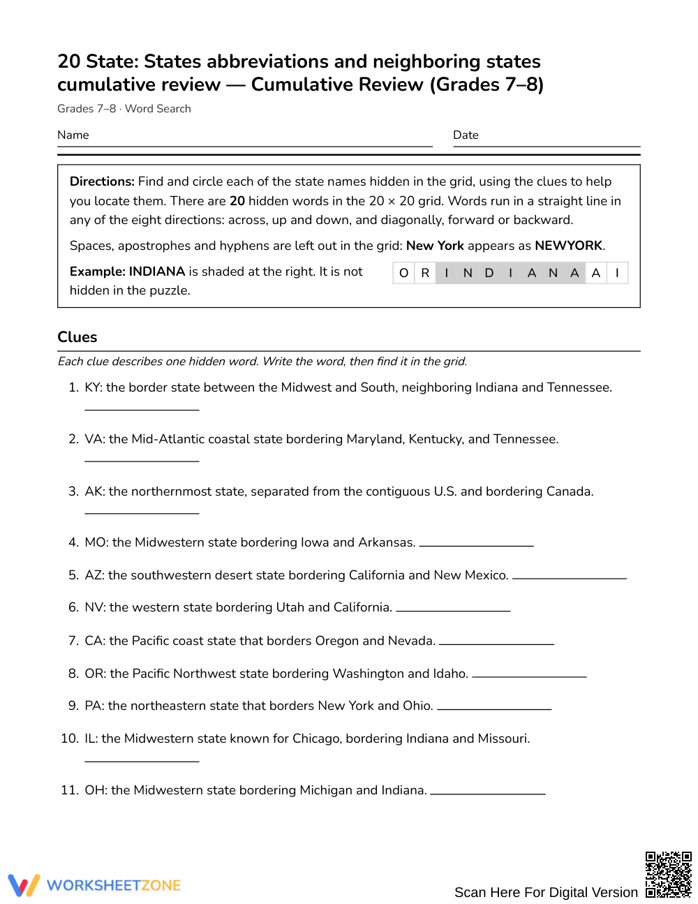
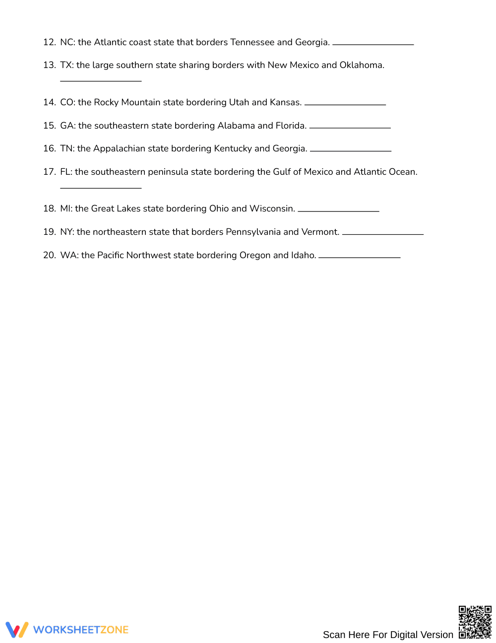
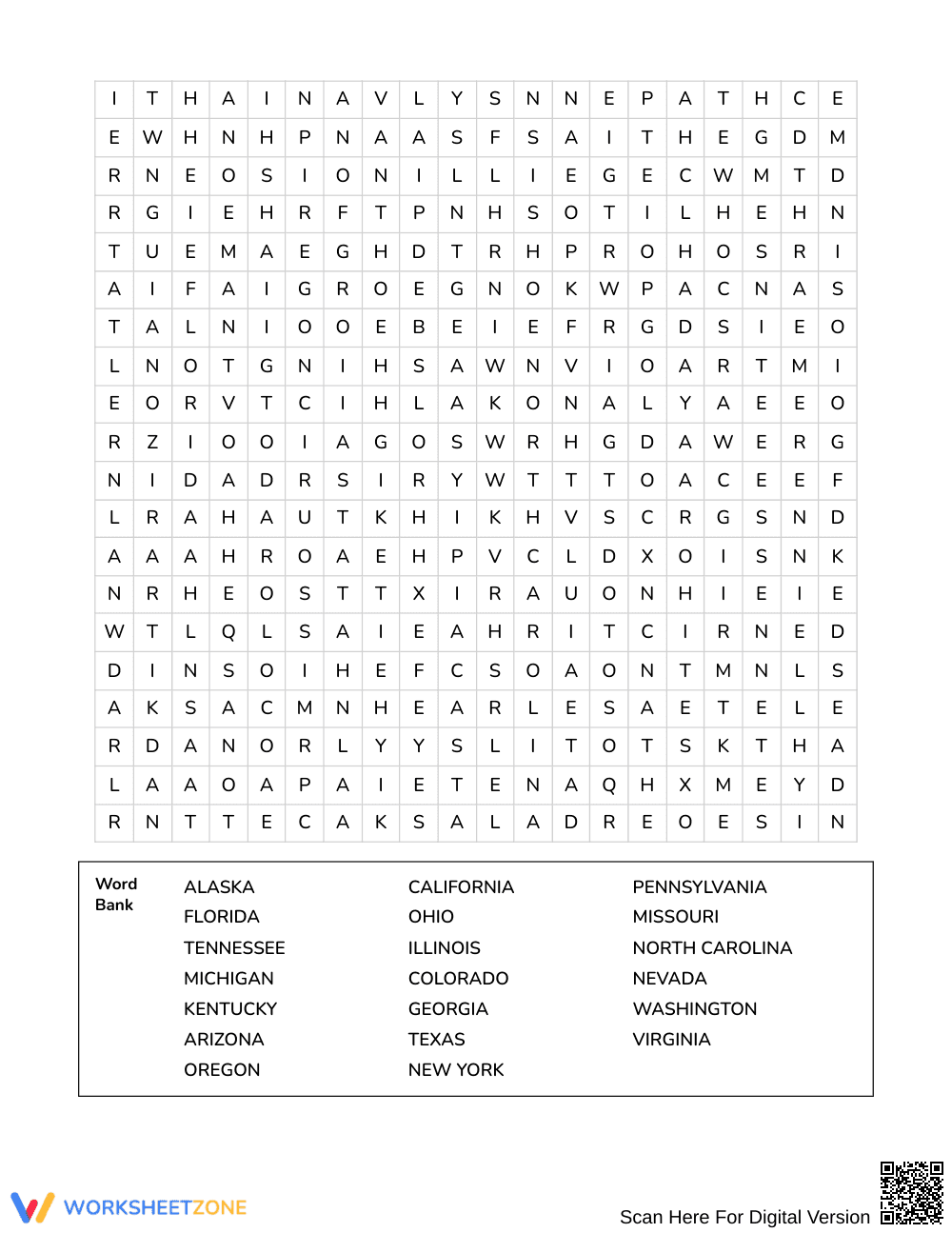

Printable US States Word Search | Grades 7–8 Social Studies

Paste this activity's link or code into your existing LMS (Google Classroom, Canvas, Teams, Schoology, Moodle, etc.).
Students can open and work on the activity right away, with no student login required.
You'll still be able to track student progress and results from your teacher account.
This Grades 7–8 Social Studies word search reinforces US geography knowledge by challenging students to identify 20 states using spatial clues and postal abbreviations. Learners connect state names with bordering regions and cardinal locations while scanning a dense letter grid, solidifying geographic recall through purposeful puzzle-solving and contextual retrieval practice.
At a Glance
- Grade: Grades 7–8 · Subject: Social Studies
- Standard: Not standards-assessed — vocabulary enrichment
- Skill Focus: States abbreviations and neighboring states cumulative review
- Format: 3 pages · 20 words · Answer key included · PDF
- Best For: Geography cumulative review and early finisher enrichment
- Time: 20–30 minutes
What's Inside
This 3-page printable activity features a full 20 by 20 letter grid containing 20 hidden state names, a shuffled word bank, and detailed informational clues for every entry. Each clue provides the two-letter postal abbreviation alongside key geographic relationships, including bordering states and regional landmarks. A comprehensive 4-page answer key demonstrates exact grid placements and directional paths.
Puzzle Mechanics and Structure
The activity challenges students with a 20 by 20 grid where 20 state names run in all eight possible directions: North, Northeast, East, Southeast, South, Southwest, West, and Northwest. To support active recall rather than simple letter matching, the accompanying word bank is shuffled, and each term includes a clue highlighting bordering states and cardinal positions. Students read the clue, identify the target state, and trace the word across the grid.
Standards Alignment
This activity serves strictly as vocabulary enrichment and geographic knowledge reinforcement; it is not aligned to a specific state or national academic standard. Teachers can integrate the puzzle into secondary social studies units focusing on United States geography, regional studies, and map-reading skills.
How to Use It
Deploy this word search after direct instruction on United States regions to provide engaging retrieval practice, or assign it during independent station rotations. For a formative assessment check, circulate while students work and observe whether they read the border clues first to deduce the state or rely solely on letter hunting. Expect completion in 20 to 30 minutes.
Who It's For
Designed for Grades 7–8 Social Studies classes, this resource supports general education students and middle schoolers needing reinforcement with state locations and two-letter abbreviations. Pair this activity naturally with a blank United States political outline map, prompting students to label and color each state as they discover it within the grid.
Secondary social studies instruction benefits significantly from structured vocabulary review that connects geographic terminology with spatial relationships. According to Fisher & Frey (2014), purposeful word-learning tasks that require students to retrieve and apply contextual definitions reinforce long-term domain knowledge more effectively than isolated memorization drills. This 20-word puzzle operationalizes that principle by embedding two-letter postal abbreviations and neighboring boundary descriptions directly into the clue structure. Rather than scanning for arbitrary letter strings, middle school learners actively process regional connections, directional orientations, and adjacent borders as they solve the 20 by 20 grid. The combination of directional search paths—spanning North, Northeast, East, Southeast, South, Southwest, West, and Northwest—demands sustained focus and spatial coordination. By pairing informational geographic clues with systematic word recognition, the activity delivers targeted vocabulary enrichment that consolidates foundational United States geography concepts across varied classroom learning environments.


