


























Views
Downloads
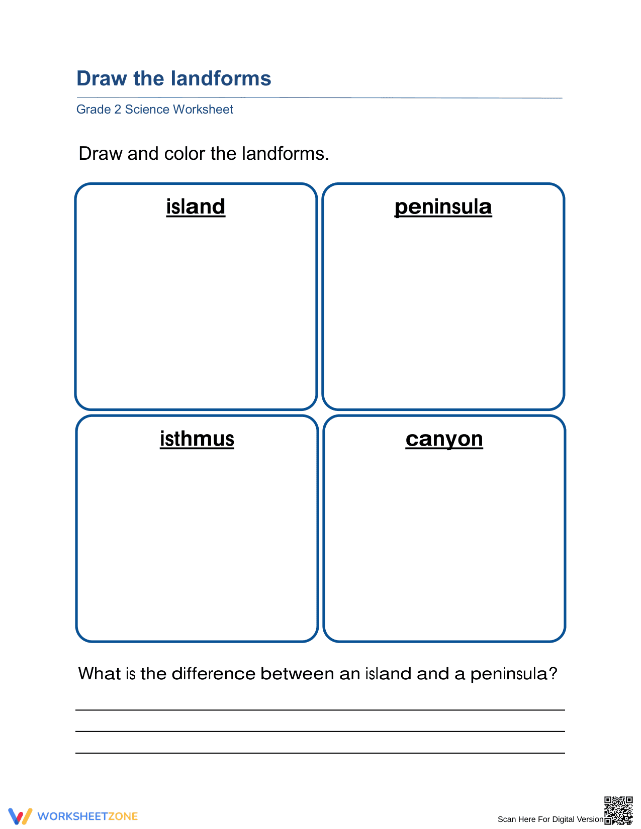

Printable Grade 2 Landforms Worksheet: Draw & Compare
Paste this activity's link or code into your existing LMS (Google Classroom, Canvas, Teams, Schoology, Moodle, etc.).
Students can open and work on the activity right away, with no student login required.
You'll still be able to track student progress and results from your teacher account.
Help your students master physical geography with this focused Grade 2 landforms worksheet. Students demonstrate their understanding of Earth's surface features by visualizing and sketching four distinct formations. By combining creative expression with scientific terminology, learners build a lasting mental model of how land and water interact in the natural world.
At a Glance
- Grade: 2 · Subject: Science
- Standard:
2-ESS2-2— Develop a model to represent the shapes and kinds of land- Skill Focus: Landform Identification and Visualization
- Format: 1 page · 5 problems · Answer key included · PDF
- Best For: Individual practice or science center activity
- Time: 15–20 minutes
This single-page PDF features four dedicated drawing zones for major geographic features: island, peninsula, isthmus, and canyon. Below the artistic section, students engage in a critical thinking prompt that asks them to define the specific differences between an island and a peninsula. The layout is clean and distraction-free, making it ideal for young learners to focus on the essential characteristics of each landform.
The workflow for this resource is designed for immediate classroom integration. First, print the single-page master (30 seconds). Second, distribute to students as a transition activity or homework (1 minute). Third, review the drawings and comparison answers using the included key (5 minutes). This zero-prep design makes it an excellent choice for emergency sub plans or quick formative assessments during a geography unit.
The activity is directly aligned to the Next Generation Science Standard 2-ESS2-2. This standard requires students to develop a model to represent the shapes and kinds of land and bodies of water in an area. By sketching these features, students are effectively creating a 2D model of geographic concepts. Both standard codes can be copied directly into lesson plans, IEP goals, or district curriculum mapping tools.
Use this worksheet as a check for understanding after an introductory lesson on Earth's features. It works well as a "we do" activity where the teacher describes the features while students draw. Observe students as they sketch to see if they include the water on all sides for the island versus water on three sides for the peninsula. Expected completion time is approximately 20 minutes.
This resource is tailored for Grade 2 and Grade 3 students beginning their study of Earth systems. The visual nature of the tasks provides excellent support for English Language Learners and students with varied learning needs. It pairs naturally with a landform anchor chart or a digital photo gallery showing real-world examples of these geographic formations.
Geography education in the primary grades relies on the transition from concrete observation to abstract modeling. According to the RAND AIRS 2024 report on elementary science pedagogy, visual representation tasks—such as drawing and labeling—significantly improve long-term retention of scientific vocabulary compared to passive reading alone. This worksheet utilizes the 2-ESS2-2 framework to bridge the gap between terminology and conceptual understanding. By requiring students to distinguish between similar features like islands and peninsulas, the activity enforces the critical thinking skills necessary for mapping and spatial reasoning. Research suggests that when students create their own models of landforms, they develop a more sophisticated understanding of Earth's diversity and the physical processes that shape our environment. This printable resource provides a structured environment for that modeling to occur, ensuring all students reach the baseline mastery required for later grades.


