


























Views
Downloads

Essential Landforms Drawing Worksheet | Grade 2-3 Science
Paste this activity's link or code into your existing LMS (Google Classroom, Canvas, Teams, Schoology, Moodle, etc.).
Students can open and work on the activity right away, with no student login required.
You'll still be able to track student progress and results from your teacher account.
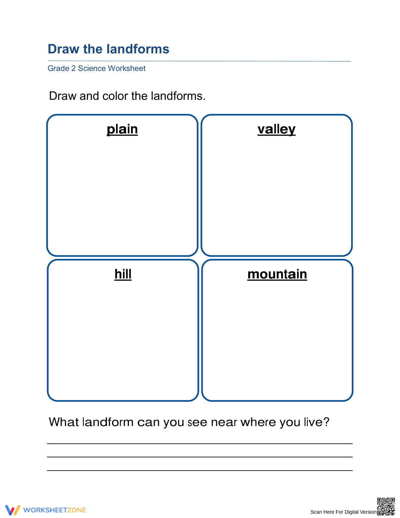
Students explore the physical features of the Earth with this focused drawing and identification activity. This worksheet helps learners visualize the differences between mountains, valleys, hills, and plains through artistic representation and personal reflection. It provides a foundational understanding of Earth science concepts while building fine motor skills and observational accuracy in young scientists.
At a Glance
- Grade: 2-3 · Subject: Science
- Standard:
2-ESS2-2— Develop a model to represent the shapes and kinds of land in an area- Skill Focus: Identifying and Modeling Landforms
- Format: 1 page · 5 tasks · Answer key included · PDF
- Best For: Independent practice or introductory science lesson
- Time: 15–25 minutes
This single-page resource features four dedicated spaces for students to illustrate and color specific geographical features: plains, valleys, hills, and mountains. Following the artistic component, students engage in a critical thinking reflection by identifying landforms within their own local environment. The clean layout ensures zero distractions, making it an ideal choice for quick assessments or classroom centers.
Zero-Prep Workflow
- Print: 30 seconds for the entire class set.
- Distribute: 1 minute to hand out materials.
- Review: 5 minutes for group discussion or checking.
This worksheet requires zero teacher setup beyond hitting the print button. It is perfectly suited for emergency substitute plans or as a reinforcement tool during transitions. Total preparation time is under two minutes, allowing educators to focus on student support.
Standards Alignment
This activity aligns with 2-ESS2-2, which requires students to represent the shapes and kinds of land. By drawing these features, students create a visual model that demonstrates geographical understanding. This standard code can be copied directly into lesson plans, IEP goals, or district curriculum mapping tools to ensure instructional compliance.
How to Use It
Use this worksheet after a direct instruction lesson on Earth's surface features to reinforce vocabulary. During the activity, walk around and observe if students can differentiate between a hill and a mountain (e.g., height and slope). Expect students to complete the drawing and reflection portion within 20 minutes, depending on the detail of their illustrations.
Who It's For
Designed for elementary students in Grades 2 and 3, this resource is excellent for inclusive classrooms needing visual-spatial learning opportunities. It pairs naturally with a landform anchor chart or a read-aloud about geographical diversity. Differentiation can be achieved by providing photographic references for students who struggle with mental visualization or artistic confidence.
According to the RAND AIRS 2024 report on elementary science instruction, active modeling through drawing significantly increases retention of physical geography terminology among early learners. This Grade 2-3 worksheet targets the specific student action of representing the shapes and kinds of land, a core component of the 2-ESS2-2 standard. By engaging in the identifying and modeling landforms skill, students move from passive recognition to active conceptualization of Earth’s diverse terrain. Fisher & Frey (2014) emphasize that visual representation serves as a critical bridge between linguistic definitions and scientific understanding. This resource provides the necessary structure for students to demonstrate mastery of foundational Earth science concepts while connecting academic content to their lived experience through local environment reflection. The use of drawing as a model is a research-supported strategy for deepening cognitive engagement in the primary science classroom.


