


Views
Plays


Grade 3 African Countries — Printable No-Prep Worksheet
Paste this activity's link or code into your existing LMS (Google Classroom, Canvas, Teams, Schoology, Moodle, etc.).
Students can open and work on the activity right away, with no student login required.
You'll still be able to track student progress and results from your teacher account.
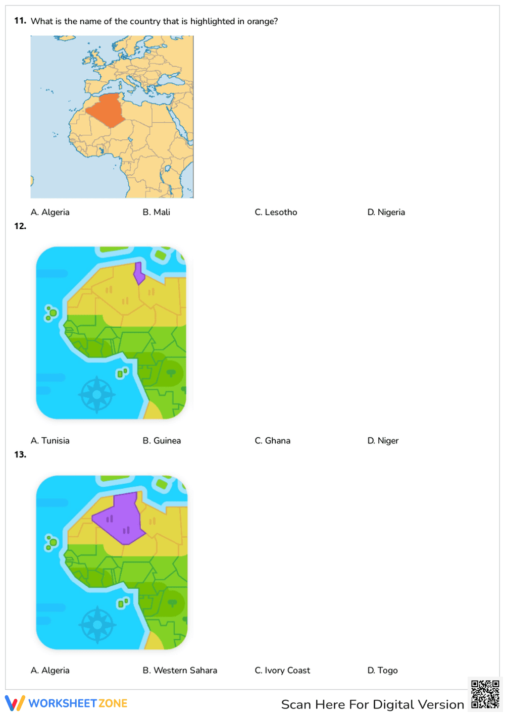
This Grade 3 geography worksheet helps students master spatial awareness by identifying African countries on a map. Through a series of clear, visual multiple-choice questions, learners will practice locating specific nations, reinforcing their understanding of global geography and map reading skills in a straightforward format.
At a Glance
- Grade: 3 · Subject: Geography
- Standard:
NCSS.D2.Geo.1.3-5— Identify and locate places on a map- Skill Focus: Identifying African countries
- Format: 5 pages · 15 problems · Answer key included · PDF
- Best For: Independent practice and review
- Time: 15–20 minutes
Inside this comprehensive resource, educators will find a five-page assessment featuring 15 distinct multiple-choice problems. Each question presents a clear, color-coded map of the African continent with a specific country highlighted in red, orange, or purple. Students must select the correct country name from four provided options. A complete answer key is included to ensure fast and accurate grading for teachers.
This resource is designed for a smooth, zero-prep workflow:
- Print (1 minute): Simply download the PDF and print the five-page problem set alongside the answer key.
- Distribute (1 minute): Hand out the worksheets to students for immediate use. No additional materials or complex instructions are required.
- Review (3 minutes): Use the included answer key to quickly check student responses or facilitate a whole-class review session.
With a total teacher prep time of under two minutes, this worksheet is an ideal solution for busy educators and makes a perfect, self-explanatory activity for substitute teacher plans.
This worksheet is aligned to NCSS.D2.Geo.1.3-5, requiring students to construct maps and other graphic representations of both familiar and unfamiliar places. By visually identifying specific nations within the African continent, students develop essential spatial recognition and geographic literacy. Both standard codes can be copied directly into lesson plans, IEP goals, or district curriculum mapping tools.
This versatile worksheet can be deployed in multiple instructional moments. Use it as an independent practice activity after a direct instruction lesson on the geography of Africa to solidify student knowledge. Alternatively, assign it as a formative assessment at the end of a unit to gauge mastery of map skills. While students work, teachers can observe their process to see if they are relying on process of elimination or immediate visual recall, providing targeted support where necessary. Expected completion time is 15 to 20 minutes.
This resource is primarily designed for third-grade students, though it is highly effective for second and fourth graders studying global geography. The visual nature of the multiple-choice format provides built-in scaffolding, making it accessible for diverse learners who might struggle with blank map labeling. It pairs perfectly with a large classroom wall map or a digital interactive globe activity.
Developing strong geographic literacy is a critical component of elementary social studies education. This worksheet aligns with NCSS.D2.Geo.1.3-5, focusing on the ability to identify and locate places on a map. According to a RAND AIRS 2024 report, students who engage in regular, visually supported map practice demonstrate significantly higher retention of spatial relationships and global awareness compared to those who only read geographic texts. By requiring learners to repeatedly analyze highlighted regions and connect them to specific country names, this 15-question activity builds automaticity in map reading. The structured multiple-choice format reduces cognitive overload, allowing students to focus entirely on spatial recognition rather than spelling or recall fatigue. This targeted approach ensures that foundational geography skills are firmly established, preparing students for more complex regional studies in later grades.