


Views
Plays
Printable Map Skills & Geography Quiz | Grade 4
Paste this activity's link or code into your existing LMS (Google Classroom, Canvas, Teams, Schoology, Moodle, etc.).
Students can open and work on the activity right away, with no student login required.
You'll still be able to track student progress and results from your teacher account.
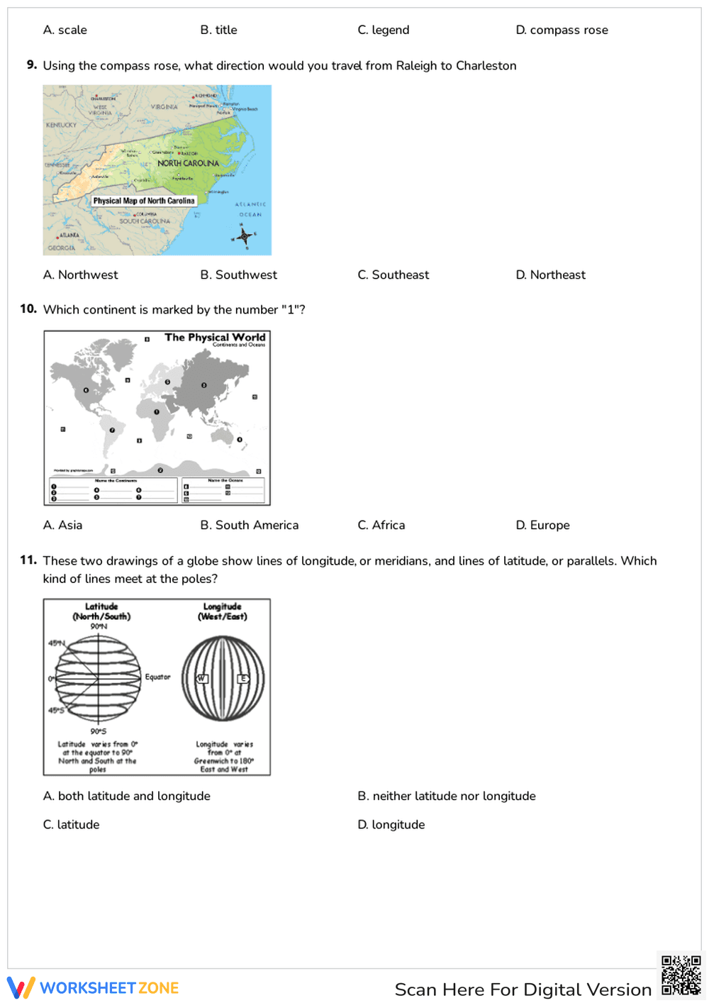
This Grade 4 geography worksheet provides students with targeted practice on essential map skills. By answering multiple-choice questions, learners will demonstrate their ability to identify latitude and longitude, interpret map legends, and use a compass rose. This resource ensures students can confidently interpret and analyze geographic representations.
At a Glance
- Grade: 4 · Subject: Geography
- Standard:
NCSS.D2.Geo.2.3-5— Use maps and other representations to explain relationships between locations.- Skill Focus: Map Skills and Coordinates
- Format: 2 pages · 11 problems · Answer key included · PDF
- Best For: Formative assessment or independent practice
- Time: 15–20 minutes
Inside this resource, educators will find a two-page assessment featuring 11 multiple-choice questions. Tasks cover foundational geography concepts, including absolute location, directions, and map elements like scales. Several questions incorporate visual aids, requiring students to apply knowledge to geographic models. A complete answer key is included.
This worksheet is designed for a zero-prep workflow.
- Print (1 min): Download the PDF and print copies. Maps reproduce perfectly.
- Distribute (1 min): Hand out the assessment. Instructions are self-explanatory, requiring no setup.
- Review (3 mins): Use the answer key to quickly grade the 11 problems.
Total prep time is under two minutes, making this ideal for sub plans.
This resource is aligned to primary standard NCSS.D2.Geo.2.3-5: Use maps, satellite images, photographs, and other representations to explain relationships between the locations of places and regions and their environmental characteristics. It also supports general spatial reasoning and geographic literacy expectations for upper elementary students. Both standard codes can be copied directly into lesson plans, IEP goals, or district curriculum mapping tools.
This versatile worksheet can be utilized in multiple instructional moments. It serves perfectly as a formative assessment after direct instruction on latitude, longitude, and map features. Alternatively, it can be assigned as independent seatwork during social studies centers. When observing students, note whether they struggle with the visual application questions versus the vocabulary-based questions, which can help guide future reteaching. Expected completion time is 15 to 20 minutes.
This activity is primarily designed for Grade 4 students, though it is highly appropriate for Grades 3 and 5 depending on your curriculum pacing. The multiple-choice format provides built-in scaffolding for students who might struggle with open-ended geography questions, making it accessible for diverse learners. It pairs naturally with an introductory unit on global geography, an anchor chart detailing map elements, or a direct instruction lesson on reading coordinates.
Mastering spatial reasoning and geographic tools is a critical component of elementary social studies education. Aligned with NCSS.D2.Geo.2.3-5, this resource helps students use maps and other representations to explain relationships between locations. According to a RAND AIRS 2024 report, students who engage in regular, structured practice with visual data representations, such as maps and globes, demonstrate significantly higher retention of spatial concepts and improved critical thinking skills across disciplines. By evaluating 11 specific problems focused on latitude, longitude, and map keys, educators can accurately measure student proficiency in these foundational areas. Providing consistent opportunities to interact with geographic models ensures that learners build the necessary cognitive frameworks to understand complex global relationships. This targeted practice directly supports long-term academic success in the social sciences.