


























Views
Plays
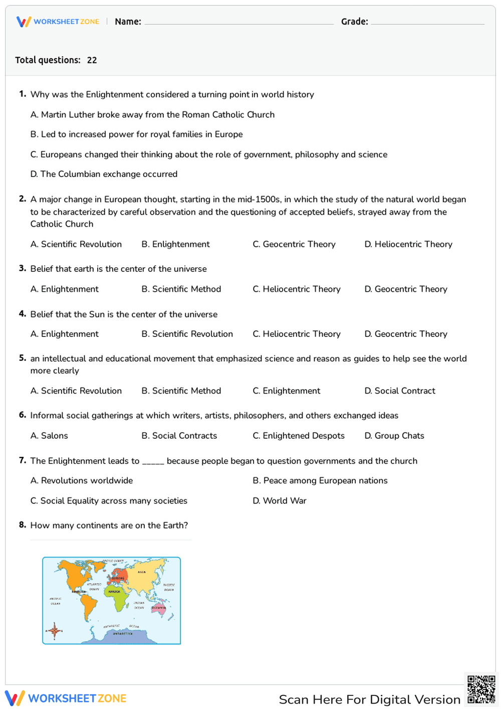
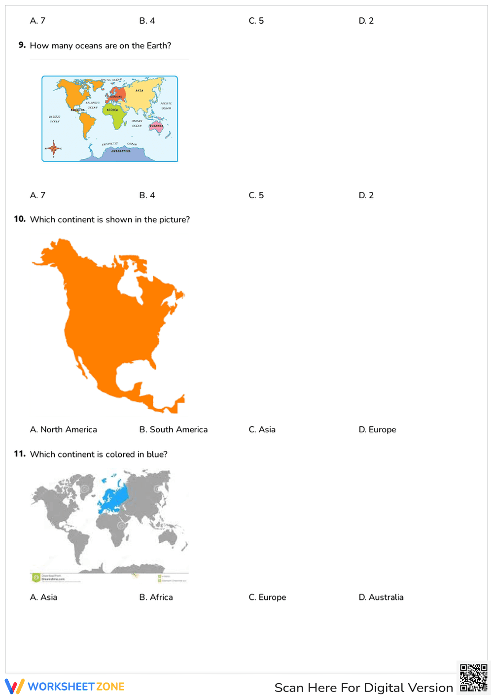
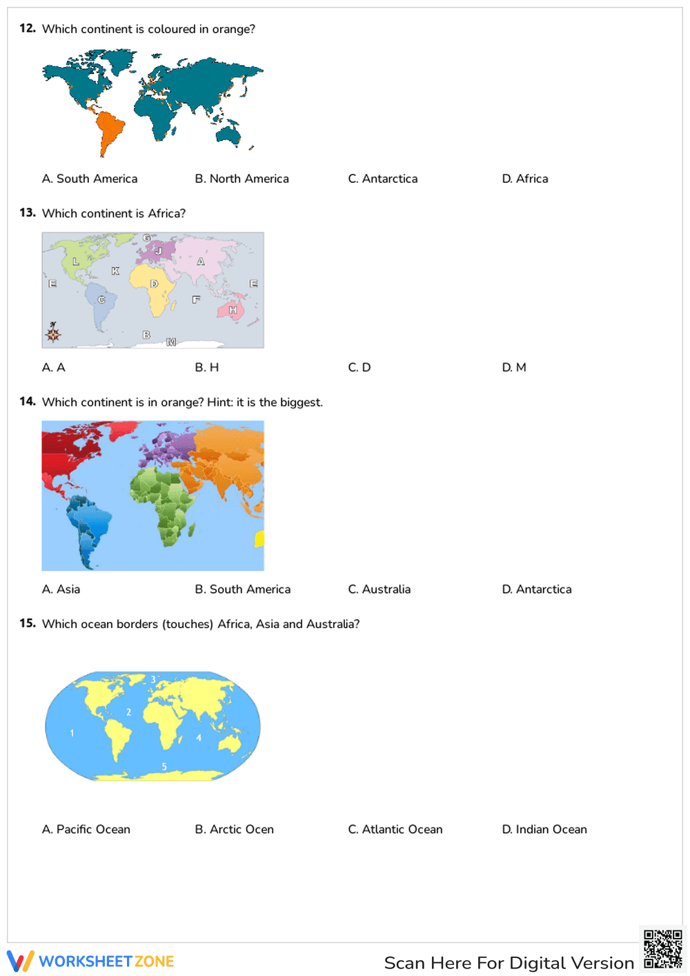

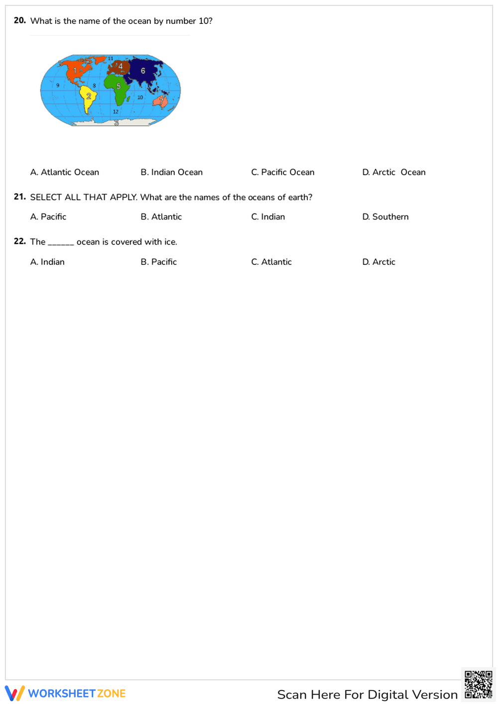

Enlightenment and World Geography Quiz | Grade 7 Essential
Paste this activity's link or code into your existing LMS (Google Classroom, Canvas, Teams, Schoology, Moodle, etc.).
Students can open and work on the activity right away, with no student login required.
You'll still be able to track student progress and results from your teacher account.
This Grade 7 Social Studies worksheet evaluates student understanding of the Enlightenment and global geography through 22 targeted multiple-choice questions. Students demonstrate mastery by identifying historical turning points, scientific theories, and physical map locations. This comprehensive assessment ensures learners can connect intellectual movements to their global geographical context effectively.
At a Glance
- Grade: 7 · Subject: Social Studies
- Standard:
CCSS.ELA-LITERACY.RH.6-8.7— Integrate visual information with print text to understand historical and geographical concepts- Skill Focus: Enlightenment History & Global Geography
- Format: 5 pages · 22 problems · Answer key included · PDF
- Best For: Formative assessment or unit review
- Time: 30–40 minutes
What's Inside
Inside this five-page PDF, you will find a structured quiz divided into two primary segments. The first segment focuses on the Scientific Revolution and Enlightenment philosophy, featuring questions on heliocentric theory and the impact of salons. The second segment utilizes high-quality map graphics to test continent and ocean identification, including specific regional highlights like the Indian Ocean and Antarctica.
Zero-Prep Workflow
The zero-prep workflow for this resource is designed for maximum teacher efficiency. First, print the five-page PDF document, ensuring enough copies for your entire roster (1 minute). Second, distribute the worksheets as an independent assessment or a structured sub-plan activity (1 minute). Finally, review the results using the included answer key to provide immediate feedback or record grades (10 minutes).
Standards Alignment
This resource aligns with CCSS.ELA-LITERACY.RH.6-8.7, which requires students to integrate visual information with other information in print and digital texts. By requiring students to interpret maps alongside historical definitions, the worksheet supports multi-modal learning. Both standard codes can be copied directly into lesson plans, IEP goals, or district curriculum mapping tools.
How to Use It
Use this worksheet as a summative unit test after completing lessons on the Age of Reason and basic world geography. Alternatively, assign it as a pre-assessment to gauge prior knowledge. Teachers should observe if students struggle with abstract terms or spatial identification. Completion typically takes 30 to 40 minutes.
Who It's For
This resource is designed for middle school students in Grade 7, though it remains relevant for Grade 6 through Grade 12 review. It serves general education classrooms and English Language Learners who benefit from visual map cues. Pair this quiz with a world atlas or an Enlightenment timeline anchor chart.
Research from Fisher & Frey (2014) emphasizes that integrating visual literacy with historical content knowledge significantly improves student retention of complex abstract concepts like the Enlightenment. This worksheet bridges the gap between conceptual history and physical geography by requiring students to toggle between theoretical definitions and spatial map data. By addressing standard CCSS.ELA-LITERACY.RH.6-8.7, the resource ensures that learners are not merely memorizing facts but are actively interpreting visual representations of the world. The 22-task structure provides sufficient data points for teachers to identify specific misconceptions regarding either historical timelines or global spatial awareness. Such dual-focus assessments are critical in middle and high school social studies to build the multidisciplinary fluency required for advanced historical analysis and global citizenship. This specific tool allows educators to verify that students can translate text-based reasoning into geographical reality, a core competency for secondary social studies success.


