


Views
Plays


Grade 5 Exploration & West Africa — Printable Quiz
Paste this activity's link or code into your existing LMS (Google Classroom, Canvas, Teams, Schoology, Moodle, etc.).
Students can open and work on the activity right away, with no student login required.
You'll still be able to track student progress and results from your teacher account.
This Grade 5 social studies worksheet gives students focused practice on identifying the motivations, obstacles, and accomplishments of European exploration, alongside the geography of West African kingdoms. Students will analyze historical maps and images to demonstrate their understanding of early global trade routes and cultural exchanges.
At a Glance
- Grade: 5 · Subject: Social Studies
- Standard:
TEKS 5.1A— Explain why groups explored and settled, including the search for wealth.- Skill Focus: European Exploration and West African Kingdoms
- Format: 3 pages · 15 problems · Answer key included · PDF
- Best For: Formative assessment or independent practice
- Time: 20–30 minutes
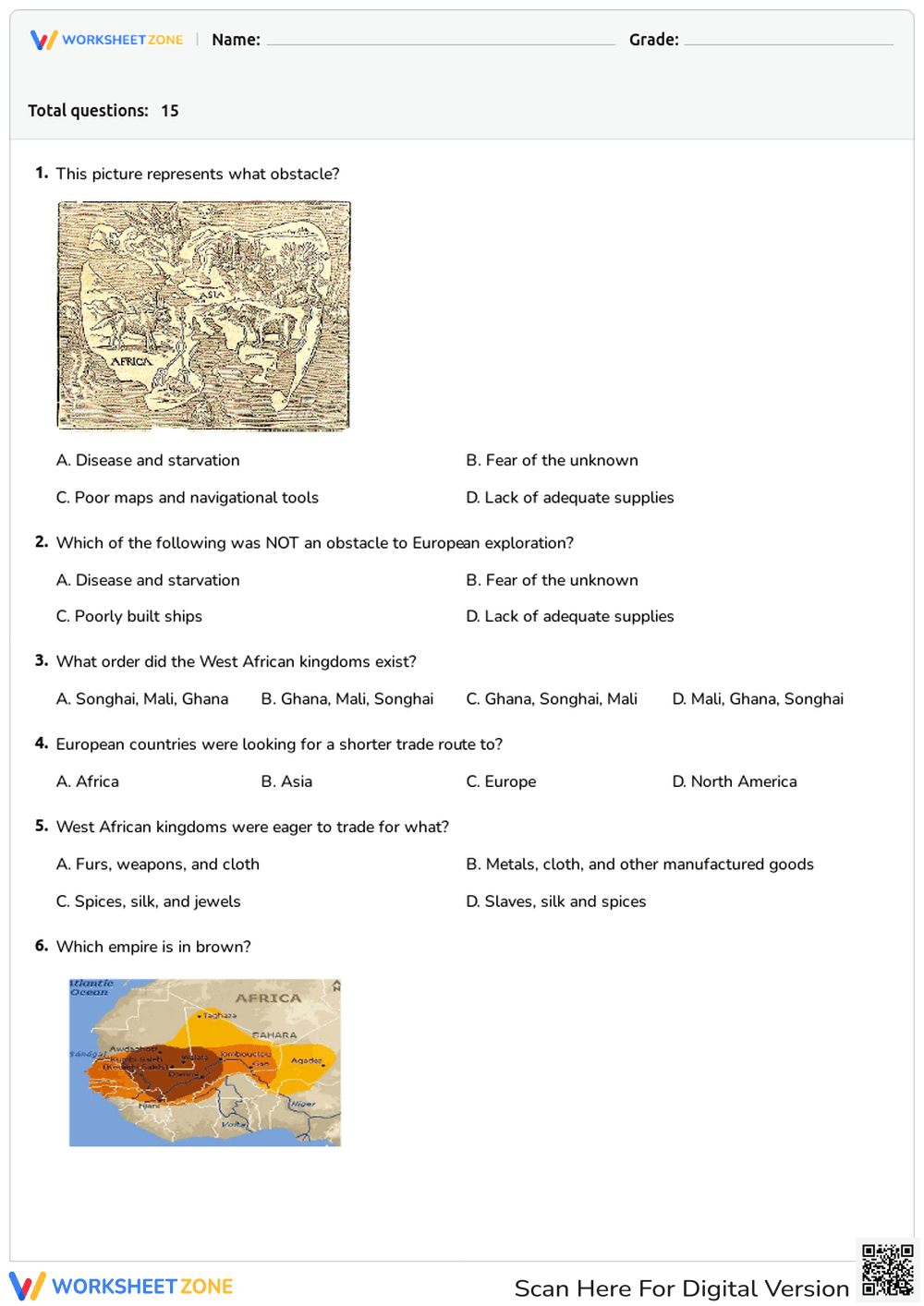
This comprehensive three-page assessment features 15 multiple-choice questions that test students' knowledge of early exploration and West African history. The resource includes visual stimuli such as historical maps, illustrations of navigational obstacles, and images representing trade goods like gold and salt. A complete answer key is provided to ensure quick and accurate grading for educators.
- Print (1 minute): Simply download the PDF and print the three-page question set alongside the included answer key.
- Distribute (1 minute): Hand out the assessment to students as a standalone quiz, review activity, or independent practice assignment.
- Review (5 minutes): Use the provided answer key to quickly grade submissions or guide a whole-class review session. Total teacher prep time is under two minutes, making this an ideal resource for emergency sub plans.
Aligned to primary standard TEKS 5.1A: Explain when, where, and why groups of people explored, colonized, and settled the United States, including the search for wealth and religion. It also supports general geography skills by asking students to locate the empires of Ghana, Mali, and Songhai. Both standard codes can be copied directly into lesson plans, IEP goals, or district curriculum mapping tools.
This worksheet is highly versatile and can be used as a summative quiz after a unit on the Age of Exploration or as a guided review activity. For formative assessment, teachers can observe which specific visual questions (such as identifying the sea monster as a "fear of the unknown" obstacle) trip up students, indicating a need to review the realities of early maritime travel. Expected completion time is 20 to 30 minutes.
Designed primarily for fifth-grade social studies students, this resource is also appropriate for middle school students needing a foundational review of early global history. The visual nature of several questions provides helpful scaffolding for English Language Learners and visual learners. It pairs perfectly with an anchor chart detailing the "3 Gs" (Gold, God, Glory) of exploration.
Integrating visual primary sources and map skills into historical assessments significantly improves student retention of complex geographical and historical concepts. By aligning to TEKS 5.1A to explain why groups explored and settled, including the search for wealth, this resource ensures rigorous standards-based practice. According to a RAND AIRS 2024 study, providing students with structured, multiple-choice formats that include visual stimuli helps bridge the gap between abstract historical motivations and concrete geographical realities. This targeted approach allows educators to accurately measure student comprehension of both the Age of Exploration and the economic power of West African kingdoms like Ghana, Mali, and Songhai.