


























Views
Plays

Grade 6-8 Atlantic South America Printable Worksheet
Paste this activity's link or code into your existing LMS (Google Classroom, Canvas, Teams, Schoology, Moodle, etc.).
Students can open and work on the activity right away, with no student login required.
You'll still be able to track student progress and results from your teacher account.
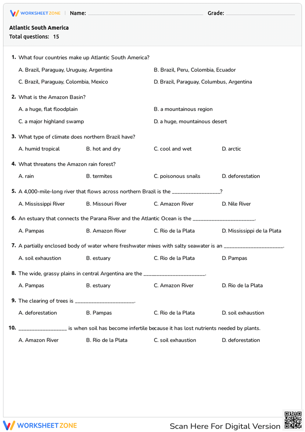
This printable middle school geography worksheet evaluates student knowledge of Atlantic South America, including its countries, physical features, and climate zones. By completing this assessment, students will demonstrate their understanding of key regional characteristics like the Amazon Basin, deforestation impacts, and map interpretation skills.
At a Glance
- Grade: 6-8 · Subject: Social Studies
- Standard:
D2.Geo.2.6-8— Use maps and representations to explain spatial relationships- Skill Focus: Atlantic South America Geography
- Format: 3 pages · 15 problems · Answer key included · PDF
- Best For: Formative assessment or sub plans
- Time: 15–20 minutes
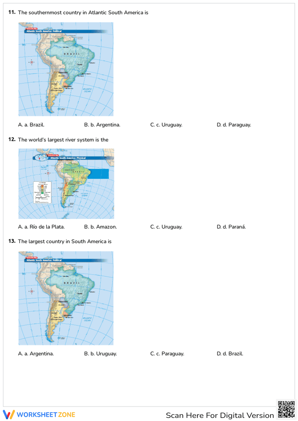
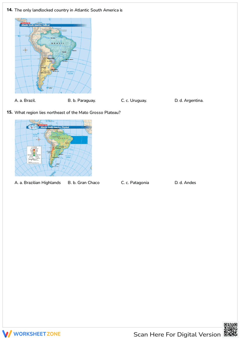
This comprehensive resource features 15 multiple-choice questions spread across three pages. The assessment covers a wide range of geographical concepts, from identifying the four countries of Atlantic South America to understanding environmental challenges like soil exhaustion and deforestation. Several questions incorporate full-color political and physical maps, requiring students to apply visual analysis skills to identify specific countries, river systems, and topographical regions. A complete answer key is provided for quick grading.
This resource is designed for maximum efficiency with a simple three-step workflow:
- Print (1 minute): Download the PDF and print a class set. The clear formatting ensures high-quality copies.
- Distribute (1 minute): Hand out the three-page quiz to students. No additional materials or teacher setup are required.
- Review (3 minutes): Use the included answer key to quickly grade submissions or facilitate a whole-class review session.
With under two minutes of total teacher prep time, this worksheet is an ideal solution for busy educators or emergency substitute teacher plans.
Aligned to D2.Geo.2.6-8, this worksheet requires students to use maps, satellite images, photographs, and other representations to explain relationships between the locations of places and regions, and their environmental characteristics. It also supports broader social studies goals related to understanding human-environment interaction in the Amazon Basin. Both standard codes can be copied directly into lesson plans, IEP goals, or district curriculum mapping tools.
This versatile worksheet can be deployed in multiple instructional moments. Use it as a summative quiz after completing a unit on South America to measure content retention. Alternatively, assign it as an independent practice activity during a station rotation. As a formative assessment tip, observe which map-based questions students struggle with most; this can indicate whether they need additional support reading political versus physical maps. Expected completion time is 15 to 20 minutes.
This resource is primarily designed for 6th, 7th, and 8th-grade social studies students studying world geography. The multiple-choice format provides built-in scaffolding for students who benefit from structured options, making it accessible for diverse learners. It pairs perfectly with a direct instruction lesson on the Amazon Rainforest or a textbook chapter covering the physical geography of Brazil, Argentina, Uruguay, and Paraguay.
Aligning instructional materials to rigorous standards like D2.Geo.2.6-8 ensures students can effectively use maps and representations to explain spatial relationships. According to a RAND AIRS 2024 report, providing students with high-quality, standards-aligned assessments significantly improves their ability to interpret geographical data and understand complex human-environment interactions. This worksheet supports these evidence-based practices by integrating map analysis directly into the question set, requiring students to apply their knowledge of Atlantic South America in a structured format. By utilizing clear, targeted questions, educators can accurately gauge student comprehension and adjust future instruction to address specific learning gaps in regional geography.


