

















Views
Downloads



Ready Coast States Word Search | Grades 5–6 Social Studies

Paste this activity's link or code into your existing LMS (Google Classroom, Canvas, Teams, Schoology, Moodle, etc.).
Students can open and work on the activity right away, with no student login required.
You'll still be able to track student progress and results from your teacher account.
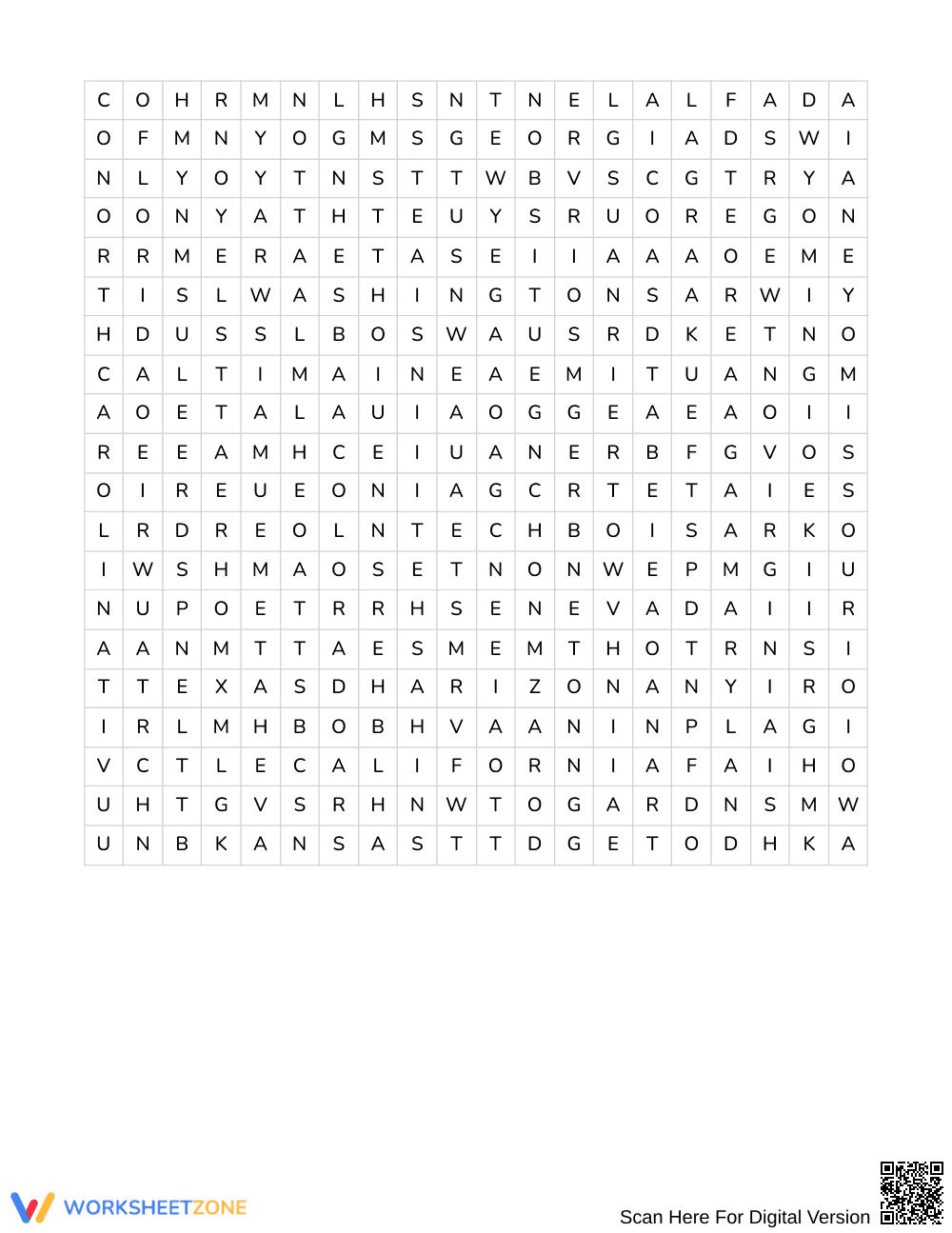
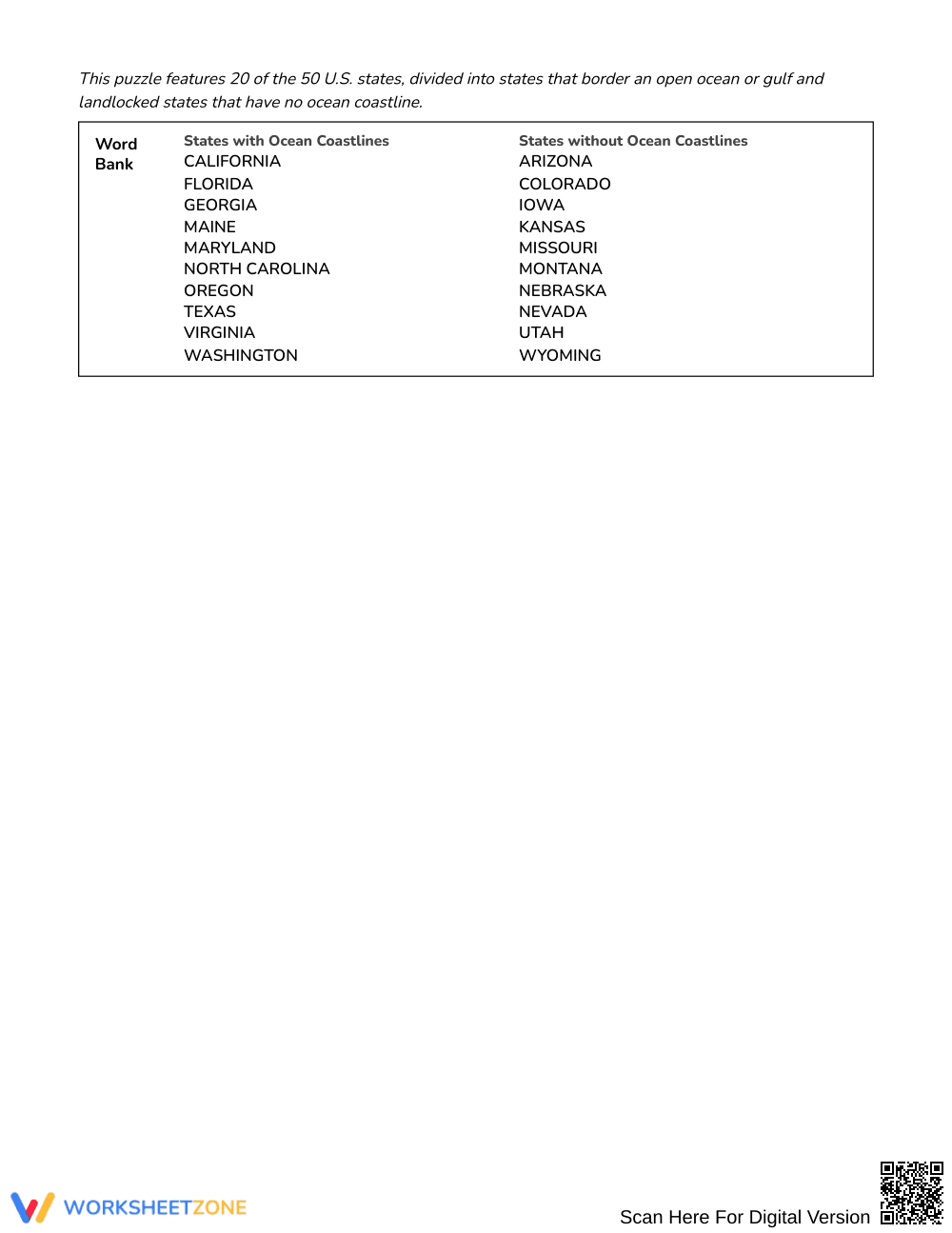
This geography word search reinforces physical geography concepts by challenging students in Grades 5–6 to identify and locate 20 coastal and landlocked states. By connecting descriptive geographical clues to state locations, learners deepen their spatial vocabulary and distinguish between maritime and interior regions across the United States.
At a Glance
- Grade: Grades 5–6 · Subject: Social Studies
- Standard:
Not standards-assessed — vocabulary enrichment- Skill Focus: States with and without ocean coastlines
- Format: 4 pages · 20 words · Answer key included · PDF
- Best For: Geography unit review and vocabulary reinforcement
- Time: 25–35 minutes
This four-page instructional resource contains a complete geography puzzle set paired with an exhaustive four-page answer key. Students examine 20 distinct geographic clues divided into two clear thematic groups: states that border open ocean waters and landlocked interior states. The resource features clear clues highlighting key landforms, waterways, and regional landmarks, directing learners to discover each corresponding state within the letter field.
Puzzle Structure and Mechanics
The activity centers on a large 20 by 20 letter grid designed to reinforce spatial awareness and orthographic processing. Hidden state names run exclusively in three orientations: east (horizontally left-to-right), southeast (diagonally downward), and south (vertically downward). Students work from a categorized clue bank rather than a plain word list, requiring them to read each geographic description, deduce the target state name, and locate it across the letter grid.
Curriculum Connection
This activity serves as supplemental vocabulary enrichment and is not aligned to a specific state or national content standard. Instead, it supports broader upper-elementary social studies learning by reinforcing essential regional geography terms, maritime concepts, and national map literacy through active puzzle-solving.
How to Use It
Deploy this resource during an introductory geography unit or as a post-lesson consolidation activity after direct instruction on U.S. regions. For independent seatwork, assign the puzzle as an engaging station rotation where students spend 25 to 35 minutes reading clues and finding targets. For formative assessment, circulate as students analyze the clues to observe whether they can distinguish between coastal features—such as peninsulas, sounds, and barrier islands—and interior landforms before searching the grid.
Who It's For
This resource is tailored for Grades 5–6 students studying United States geography and regional landforms. It offers accessible entry points for visual learners and students needing vocabulary support through contextual clues. Pair this activity with a physical wall map or an atlas lesson on continental waterways to help students cross-reference clue descriptions with real-world cartographic data.
Explicit vocabulary enrichment in upper-elementary social studies establishes the foundational schema necessary for advanced spatial thinking and geographic analysis. Research from Fisher & Frey (2014) highlights that structured word-learning activities combining contextual clues with visual search tasks significantly boost domain-specific term retention and conceptual comprehension. Furthermore, empirical findings show that organizing terms into contrasting conceptual sets—such as maritime versus inland territories—enhances cognitive sorting and long-term memory. Rather than relying on rote memorization, engaging fifth and sixth graders with clue-driven puzzle tasks requires students to actively retrieve geographic attributes—such as coastlines, river systems, and interior plains—before locating target terms. This dual-processing approach bridges factual knowledge and orthographic familiarity, strengthening regional recall and map readiness. By embedding thematic classification directly into the activity, students build structured mental models of physical geography that support subsequent map reading and historical inquiry across secondary social studies coursework.


