


























Views
Plays


Convergency Navigation Worksheet | College Essential
Paste this activity's link or code into your existing LMS (Google Classroom, Canvas, Teams, Schoology, Moodle, etc.).
Students can open and work on the activity right away, with no student login required.
You'll still be able to track student progress and results from your teacher account.
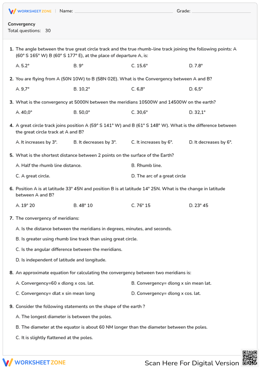
This College-level navigation worksheet provides a comprehensive assessment of convergency and Earth geometry. Students solve 30 complex problems involving rhumb lines, great circle tracks, and latitude/longitude calculations. By applying standard formulas, learners demonstrate mastery of spatial orientation and aeronautical navigation principles essential for professional certification and advanced geographic studies.
At a Glance
- Grade: College · Subject: Aviation Navigation
- Standard:
COLLEGE-AV-NAV— Calculate angular differences between meridians and determine shortest distances on Earth- Skill Focus: Convergency and Track Calculations
- Format: 4 pages · 30 problems · Answer key included · PDF
- Best For: Exam preparation and formative assessment
- Time: 45–60 minutes
This 4-page PDF contains 30 multiple-choice questions. It covers the standard formula for convergency, conversion angles, and meridian properties. It includes scenarios requiring students to calculate changes in latitude and identify shortest distances on a spherical surface. The structured format allows for quick evaluation of student progress in technical navigation courses.
Zero-Prep Workflow
- Print: Select the 4-page document and print enough copies for your cohort (1 minute).
- Distribute: Hand out the quiz as a mid-unit check or a final review session (1 minute).
- Review: Use the included answer key to grade or facilitate a peer-review session (10 minutes).
Total teacher prep is under 2 minutes, ideal for technical program sub plans.
Standards Alignment
The primary focus is COLLEGE-AV-NAV, which requires students to understand the angular inclination of meridians towards each other and apply the formula Convergency = dlong x sin mean latitude. This alignment ensures that students are prepared for professional aviation examinations and advanced cartography courses. Both standard codes can be copied directly into lesson plans, IEP goals, or district curriculum mapping tools.
How to Use It
Assign this worksheet during the "You Do" phase of a lesson on spherical trigonometry or aeronautical charts. It serves as an excellent formative assessment to identify misconceptions regarding the difference between rhumb lines and great circles. Instructors should observe if students correctly identify the sine of the mean latitude in their calculations. Expected completion time ranges from 45 to 60 minutes.
Who It's For
This resource is tailored for college students enrolled in aviation science, maritime navigation, or advanced physical geography. It is particularly useful for those preparing for commercial pilot license (CPL) theory exams. Pair this worksheet with a physical globe or a digital flight planning tool to provide a concrete visual reference for the abstract calculations.
According to the RAND AIRS 2024 report on technical education, structured problem sets in specialized fields like navigation significantly improve long-term retention of mathematical formulas. This worksheet addresses the COLLEGE-AV-NAV standard by requiring students to calculate the angular difference between meridians, a fundamental skill in global positioning. By engaging with 30 distinct scenarios, learners move beyond rote memorization to a functional understanding of Earth's geometry. Research from Fisher & Frey (2014) supports this gradual release of responsibility, where multiple-choice formats allow students to evaluate competing theories before applying them in open-ended flight planning. The inclusion of specific variables such as dlong and mean lat ensures that the material remains rigorous and aligned with industry expectations for professional navigators and geographers. This resource provides the necessary scaffolding for students to achieve mastery in complex spatial calculations.


