


Views
Downloads

Printable Map Coordinates Worksheet | Grade 3 Essential
Paste this activity's link or code into your existing LMS (Google Classroom, Canvas, Teams, Schoology, Moodle, etc.).
Students can open and work on the activity right away, with no student login required.
You'll still be able to track student progress and results from your teacher account.
This interactive map coordinates worksheet empowers Grade 3 students to master spatial awareness through creative application. By blending artistic map design with rigorous coordinate identification, learners develop a concrete understanding of how grid systems organize geographic information. Students transition from creating their own data sets to analyzing mystery grids, ensuring a comprehensive grasp of the coordinate plane.
At a Glance
- Grade: 3 · Subject: Geography
- Standard:
CCSS.MATH.CONTENT.5.G.A.1— Use a pair of perpendicular number lines to define a coordinate system- Skill Focus: Identifying and Plotting Map Coordinates
- Format: 2 pages · 10 problems · Answer key included · PDF
- Best For: Individual practice and peer-review activities
- Time: 25–35 minutes
What's Inside
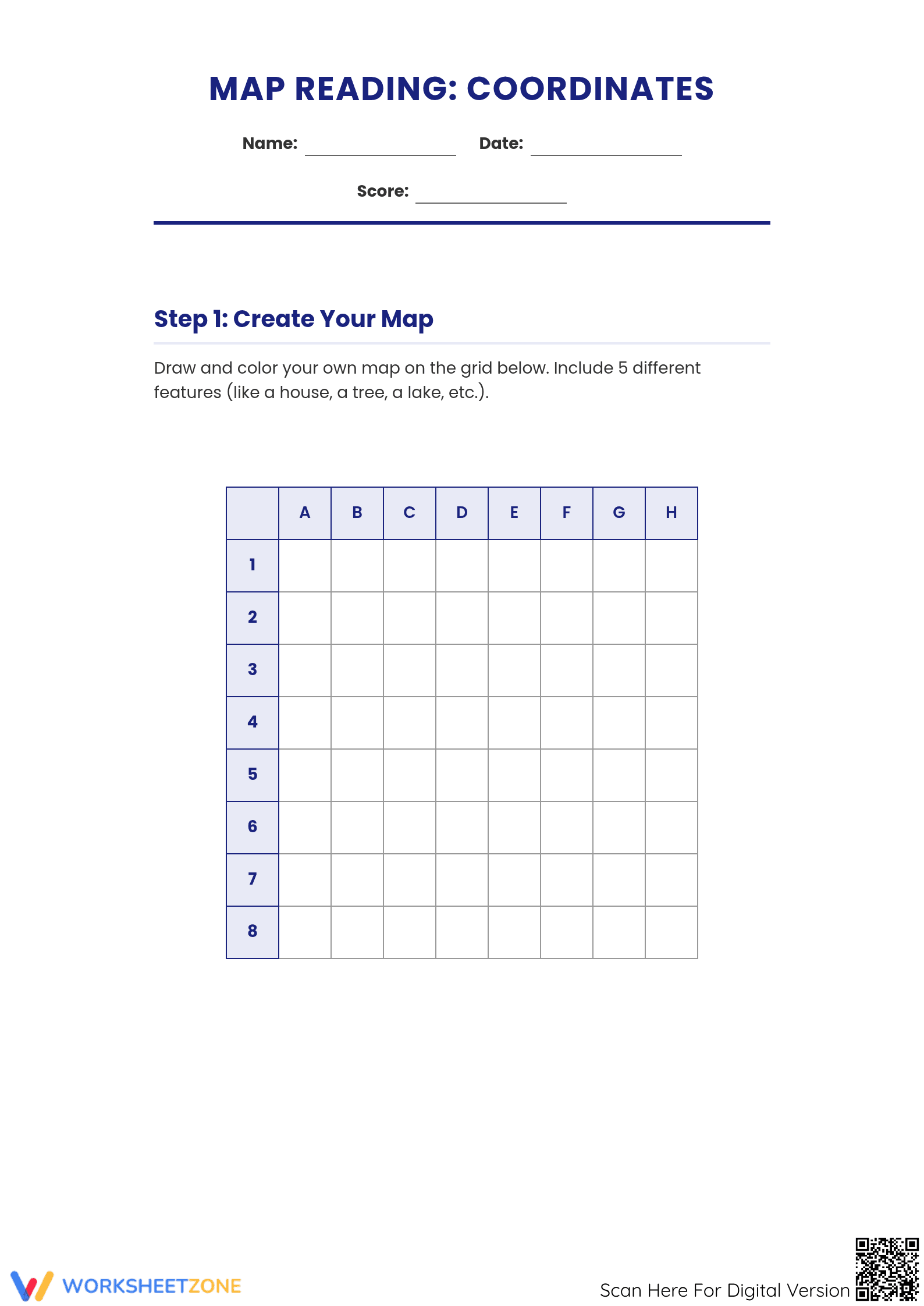
This two-page resource features a structured approach to coordinate literacy. Page one provides a spacious A-H by 1-8 grid for students to illustrate five unique map features. Page two includes a feature description table for peer-to-peer verification and a Coordinate Challenge section. This challenge presents a 4x4 symbol grid where students identify icons based on alphanumeric input. A full answer key is provided for the identification section.
Zero-Prep Workflow
- Print: Download and print the double-sided PDF for your entire class (1 minute).
- Distribute: Hand out the sheets and provide colored pencils for the creative mapping phase (30 seconds).
- Review: Verify the Coordinate Challenge identifications using the provided answer key for instant feedback (30 seconds).
Standards Alignment
The primary focus aligns with `CCSS.MATH.CONTENT.5.G.A.1`, focusing on the foundational concepts of the coordinate system where the intersection of lines defines specific locations. While designed for younger learners, it prepares them for higher-level geometry by establishing the relationship between horizontal and vertical axes. Both standard codes can be copied directly into lesson plans, IEP goals, or district curriculum mapping tools.
How to Use It
Use this worksheet as a summative assessment after an introductory lesson on map keys. During the mapping phase, observe if students correctly place features within grid squares rather than on the lines. It also serves as a fun activity where students swap maps and challenge neighbors to describe features.
Who It's For
This resource is tailored for Grade 3 general education classrooms but is highly effective for Grade 2 enrichment or Grade 4 review. The visual nature of the symbols in the challenge section supports English Language Learners (ELL) by providing clear non-linguistic cues. It pairs perfectly with a physical globe or a classroom anchor chart detailing cardinal directions and map vocabulary.
The integration of creative drawing with coordinate identification follows the gradual release model, supporting cognitive engagement. According to Fisher & Frey (2014), scaffolded spatial tasks improve long-term retention of geometric concepts. This worksheet facilitates this by moving from student-generated content to objective analysis. By describing features at specific coordinates, students reinforce the linguistic connection between spatial data and real-world application. As noted in the NAEP Geography Framework, grid systems are foundational for 21st-century geographic literacy. The dual-page structure ensures sufficient practice for students to achieve fluency with alphanumeric grids. This Grade 3 map skills resource is a complete, printable solution for educators seeking to bridge abstract math and practical geography.